Area Overview for WR4 9JU
Photos of WR4 9JU
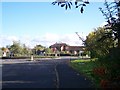
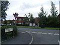
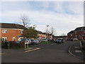
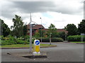
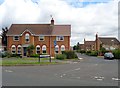
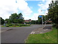
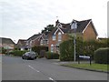
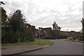
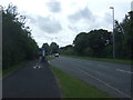
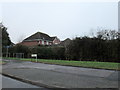
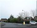
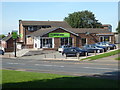
100 photos from this area
Area Information
Key information about the WR4 9JU including its size, population, and administrative classification.
- Area Type
- Postcode
- Area Size
- 1.7 hectares
- Population
- 1386
- Population Density
- 6274 people/km²
House Prices in WR4 9JU
55
Properties
£136,665
Average Sold Price
£59,950
Lowest Price
£240,000
Highest Price
Showing 55 properties
| Address | Type | Beds | Baths | Last Sale Price | Last Sale Date | |
|---|---|---|---|---|---|---|
| 28 Cleeve Drive, Worcester, WR4 9JU | Semi-detached | 3 | 1 | £230,000 | May 2025 | |
| 36 Cleeve Drive, Worcester, WR4 9JU | Semi-detached | 3 | - | £234,500 | Jan 2025 | |
| 40 Cleeve Drive, Worcester, WR4 9JU | Semi-detached | 3 | 1 | £240,000 | Oct 2024 | |
| 44 Cleeve Drive, Worcester, WR4 9JU | house | - | - | £210,000 | Oct 2023 | |
| 4 Cleeve Drive, Worcester, WR4 9JU | Semi-detached | 3 | 1 | £230,000 | Mar 2022 | |
| 9 Cleeve Drive, Worcester, WR4 9JU | house | - | - | £167,000 | Sep 2021 | |
| 8 Cleeve Drive, Worcester, WR4 9JU | house | - | - | £173,500 | Nov 2020 | |
| 13 Cleeve Drive, Worcester, WR4 9JU | Semi-detached | 3 | 1 | £150,000 | Jun 2020 | |
| 25 Cleeve Drive, Worcester, WR4 9JU | Semi-detached | 3 | 1 | £167,000 | Nov 2019 | |
| 29 Cleeve Drive, Worcester, WR4 9JU | Flat | - | - | £73,000 | Oct 2017 |
Page 1 of 6
Energy Efficiency in WR4 9JU
Amenities
Schools
| Rank | School | Type | Entry gender | Ages |
|---|
Explore more schools in this area
Go to Schools tabDemographics
Household Size
One person
most common
Accommodation Type
Houses
most common
Tenure
37
majority
Ethnic Group
White
most common
Religion
N/A
most common
Household Composition
N/A
most common
Age
47
median
Adults (30-64 years)
most common
Household Deprivation
N/A
with no deprivation
NS-SEC
19
in Lower managerial occupations
Explore more demographic insights in this area
Go to Demographics tabPlanning
Planning Constraints
- Flood RiskPremium
- Ramsar Wetland SitesPremium
- Area of Outstanding Natural BeautyPremium
- Protected Nature ReservePremium
- Protected WoodlandPremium