Area Overview for WR4 9DT
Photos of WR4 9DT
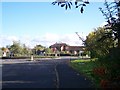
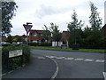
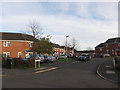
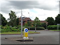
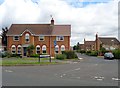
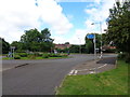
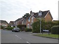
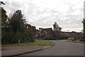
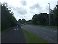
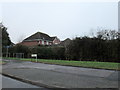
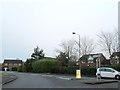
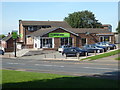
100 photos from this area
Area Information
Key information about the WR4 9DT including its size, population, and administrative classification.
- Area Type
- Postcode
- Area Size
- 5450 m²
- Population
- 1518
- Population Density
- 7028 people/km²
House Prices in WR4 9DT
17
Properties
£107,171
Average Sold Price
£19,864
Lowest Price
£185,000
Highest Price
Showing 17 properties
| Address | Type | Beds | Baths | Last Sale Price | Last Sale Date | |
|---|---|---|---|---|---|---|
| 139 Langdale Drive, Worcester, WR4 9DT | Terraced | 3 | 1 | £170,000 | Feb 2023 | |
| 127 Langdale Drive, Worcester, WR4 9DT | Detached | 3 | 1 | £185,000 | Mar 2022 | |
| 141 Langdale Drive, Worcester, WR4 9DT | house | - | - | £92,000 | Jul 2021 | |
| 123 Langdale Drive, Worcester, WR4 9DT | house | - | - | £185,000 | Sep 2020 | |
| 119 Langdale Drive, Worcester, WR4 9DT | house | - | - | £90,000 | Jun 2019 | |
| 121 Langdale Drive, Worcester, WR4 9DT | Terraced | - | - | £80,500 | Mar 2003 | |
| 129 Langdale Drive, Worcester, WR4 9DT | house | - | - | £35,000 | Jul 2000 | |
| 135 Langdale Drive, Worcester, WR4 9DT | Terraced | - | - | £19,864 | Feb 1997 | |
| 125 Langdale Drive, Worcester, WR4 9DT | Terraced | 3 | 1 | - | - | |
| 131 Langdale Drive, Worcester, WR4 9DT | house | - | - | - | - |
Page 1 of 2
Energy Efficiency in WR4 9DT
Amenities
Schools
| Rank | School | Type | Entry gender | Ages |
|---|
Explore more schools in this area
Go to Schools tabDemographics
Household Size
Family (3-5 people)
most common
Accommodation Type
Houses
most common
Tenure
42
majority
Ethnic Group
White
most common
Religion
N/A
most common
Household Composition
N/A
most common
Age
47
median
Adults (30-64 years)
most common
Household Deprivation
N/A
with no deprivation
NS-SEC
16
in Lower managerial occupations
Explore more demographic insights in this area
Go to Demographics tabPlanning
Planning Constraints
- Flood RiskPremium
- Ramsar Wetland SitesPremium
- Area of Outstanding Natural BeautyPremium
- Protected Nature ReservePremium
- Protected WoodlandPremium