Area Overview for WR4 0JF
Photos of WR4 0JF
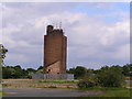
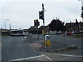
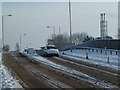
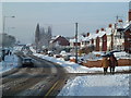
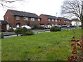
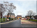
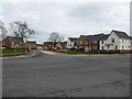
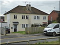
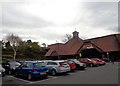
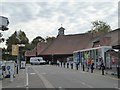
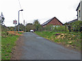
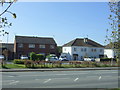
100 photos from this area
Area Information
Key information about the WR4 0JF including its size, population, and administrative classification.
- Area Type
- Postcode
- Area Size
- 5.6 hectares
- Population
- 2571
- Population Density
- 3346 people/km²
House Prices in WR4 0JF
24
Properties
£264,844
Average Sold Price
£144,000
Lowest Price
£460,000
Highest Price
Showing 24 properties
| Address | Type | Beds | Baths | Last Sale Price | Last Sale Date | |
|---|---|---|---|---|---|---|
| 2 Cover Green, Worcester, WR4 0JF | Detached | 4 | 2 | £385,000 | Aug 2023 | |
| 20 Cover Green, Worcester, WR4 0JF | Retail | 5 | 3 | £460,000 | Mar 2022 | |
| Acorn Ridge, 18 Cover Green, Worcester, WR4 0JF | Detached | 4 | 2 | £380,000 | Mar 2018 | |
| 10 Cover Green, Worcester, WR4 0JF | house | - | - | £402,500 | Jul 2017 | |
| 4 Cover Green, Worcester, WR4 0JF | Semi-detached | 4 | - | £270,000 | Mar 2015 | |
| 7 Cover Green, Worcester, WR4 0JF | house | - | - | £205,500 | Jul 2013 | |
| Cartref, 25 Cover Green, Worcester, WR4 0JF | Detached | 4 | - | £271,000 | Dec 2006 | |
| 5 Cover Green, Worcester, WR4 0JF | Detached | 1 | 1 | £275,000 | Jun 2006 | |
| 15 Cover Green, Worcester, WR4 0JF | Detached | - | - | £232,000 | Jan 2006 | |
| 16 Cover Green, Worcester, WR4 0JF | house | - | - | £300,000 | Apr 2004 |
Page 1 of 3
Energy Efficiency in WR4 0JF
Amenities
Schools
| Rank | School | Type | Entry gender | Ages |
|---|
Explore more schools in this area
Go to Schools tabDemographics
Household Size
Family (3-5 people)
most common
Accommodation Type
Houses
most common
Tenure
73
majority
Ethnic Group
White
most common
Religion
N/A
most common
Household Composition
N/A
most common
Age
47
median
Adults (30-64 years)
most common
Household Deprivation
N/A
with no deprivation
NS-SEC
42
in Lower managerial occupations
Explore more demographic insights in this area
Go to Demographics tabPlanning
Planning Constraints
- Flood RiskPremium
- Ramsar Wetland SitesPremium
- Area of Outstanding Natural BeautyPremium
- Protected Nature ReservePremium
- Protected WoodlandPremium