Area Overview for WR3 8SS
Photos of WR3 8SS
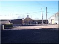
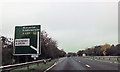
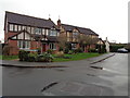

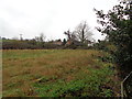
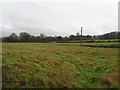
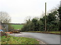
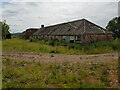
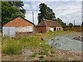

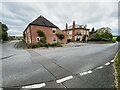
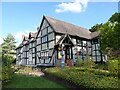
29 photos from this area
Area Information
Key information about the WR3 8SS including its size, population, and administrative classification.
- Area Type
- Postcode
- Area Size
- 21.1 hectares
- Population
- 2536
- Population Density
- 241 people/km²
House Prices in WR3 8SS
22
Properties
£355,375
Average Sold Price
£250,000
Lowest Price
£472,500
Highest Price
Showing 22 properties
| Address | Type | Beds | Baths | Last Sale Price | Last Sale Date | |
|---|---|---|---|---|---|---|
| 2, Court Farm Cottage, Hindlip Lane, Hindlip, WR3 8SS | Cottage | 3 | 1 | £472,500 | Aug 2021 | |
| 1, Court Farm Cottage, Hindlip Lane, Hindlip, WR3 8SS | Terraced | 3 | 2 | £425,000 | May 2021 | |
| 3, Woodside Cottages, Hindlip Lane, Hindlip, WR3 8SS | Terraced | 3 | 1 | £397,500 | Feb 2018 | |
| 2, Woodside Cottages, Hindlip Lane, Hindlip, WR3 8SS | Terraced | 3 | 1 | £283,000 | Nov 2017 | |
| Court Farm, Hindlip Lane, Hindlip, WR3 8SS | house | - | - | £250,000 | Aug 2017 | |
| 4, Woodside Cottages, Hindlip Lane, Hindlip, WR3 8SS | Semi-detached | 3 | 2 | £350,000 | Jan 2017 | |
| 1, Woodside Cottages, Hindlip Lane, Hindlip, WR3 8SS | Semi-detached | 3 | 2 | £300,000 | Dec 2015 | |
| 5, Woodside Cottages, Hindlip Lane, Hindlip, WR3 8SS | Terraced | 3 | 2 | £365,000 | Dec 2015 | |
| Old Dairy, Hindlip Lane, Hindlip, WR3 8SS | Semi-detached | 3 | 3 | - | - | |
| The Jacky Smith Training Centre, Hindlip Lane, Hindlip, WR3 8SS | Industrial | - | - | - | - |
Page 1 of 3
Energy Efficiency in WR3 8SS
Amenities
Schools
| Rank | School | Type | Entry gender | Ages |
|---|
Explore more schools in this area
Go to Schools tabDemographics
Household Size
Two person
most common
Accommodation Type
Houses
most common
Tenure
84
majority
Ethnic Group
White
most common
Religion
N/A
most common
Household Composition
N/A
most common
Age
47
median
Adults (30-64 years)
most common
Household Deprivation
N/A
with no deprivation
NS-SEC
44
in Lower managerial occupations
Explore more demographic insights in this area
Go to Demographics tabPlanning
Planning Constraints
- Flood RiskPremium
- Ramsar Wetland SitesPremium
- Area of Outstanding Natural BeautyPremium
- Protected Nature ReservePremium
- Protected WoodlandPremium