Area Overview for WR2 5RS
Photos of WR2 5RS
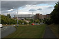
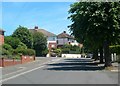
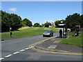
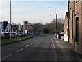
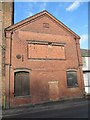
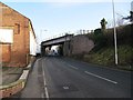

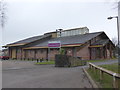
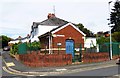
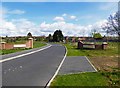
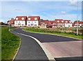
57 photos from this area
Area Information
Key information about the WR2 5RS including its size, population, and administrative classification.
- Area Type
- Postcode
- Area Size
- 1.1 hectares
- Population
- 1924
- Population Density
- 5496 people/km²
House Prices in WR2 5RS
42
Properties
£123,688
Average Sold Price
£30,000
Lowest Price
£185,000
Highest Price
Showing 42 properties
| Address | Type | Beds | Baths | Last Sale Price | Last Sale Date | |
|---|---|---|---|---|---|---|
| 123 Drake Avenue, Worcester, WR2 5RS | Maisonette | 3 | 1 | £172,500 | Jun 2025 | |
| 71 Drake Avenue, Worcester, WR2 5RS | Semi-detached | 3 | - | £167,000 | Jan 2023 | |
| 161 Drake Avenue, Worcester, WR2 5RS | Semi-detached | 3 | 1 | £150,000 | Jul 2022 | |
| 113 Drake Avenue, Worcester, WR2 5RS | Flat | - | - | £80,000 | Dec 2019 | |
| 75 Drake Avenue, Worcester, WR2 5RS | Semi-detached | 3 | 1 | £185,000 | Jul 2018 | |
| 77 Drake Avenue, Worcester, WR2 5RS | Semi-detached | 3 | - | £135,000 | Sep 2016 | |
| 127 Drake Avenue, Worcester, WR2 5RS | Retail | 3 | 1 | £70,000 | May 2004 | |
| 103 Drake Avenue, Worcester, WR2 5RS | Flat | - | - | £30,000 | Dec 1996 | |
| 143 Drake Avenue, Worcester, WR2 5RS | Semi-detached | 3 | 1 | - | - | |
| 97 Drake Avenue, Worcester, WR2 5RS | Detached | 3 | 1 | - | - |
Page 1 of 5
Energy Efficiency in WR2 5RS
Amenities
Schools
| Rank | School | Type | Entry gender | Ages |
|---|
Explore more schools in this area
Go to Schools tabDemographics
Household Size
Family (3-5 people)
most common
Accommodation Type
Houses
most common
Tenure
53
majority
Ethnic Group
White
most common
Religion
N/A
most common
Household Composition
N/A
most common
Age
47
median
Adults (30-64 years)
most common
Household Deprivation
N/A
with no deprivation
NS-SEC
22
in Lower managerial occupations
Explore more demographic insights in this area
Go to Demographics tabPlanning
Planning Constraints
- Flood RiskPremium
- Ramsar Wetland SitesPremium
- Area of Outstanding Natural BeautyPremium
- Protected Nature ReservePremium
- Protected WoodlandPremium