Area Overview for WR2 5PF
Photos of WR2 5PF
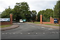
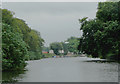
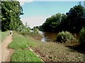
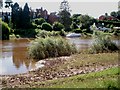
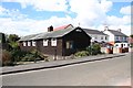
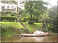
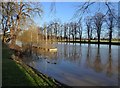
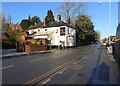
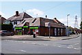
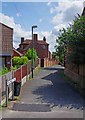
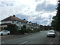
99 photos from this area
Area Information
Key information about the WR2 5PF including its size, population, and administrative classification.
- Area Type
- Postcode
- Area Size
- 3.6 hectares
- Population
- 1486
- Population Density
- 3828 people/km²
House Prices in WR2 5PF
46
Properties
£318,333
Average Sold Price
£180,000
Lowest Price
£550,000
Highest Price
Showing 46 properties
| Address | Type | Beds | Baths | Last Sale Price | Last Sale Date | |
|---|---|---|---|---|---|---|
| 210 Henwick Road, Worcester, WR2 5PF | Detached | 4 | 4 | £550,000 | Mar 2025 | |
| 214 Henwick Road, Worcester, WR2 5PF | Semi-detached | 3 | 2 | £485,000 | Dec 2021 | |
| 196-198 Henwick Road, Worcester, WR2 5PF | Terraced | 4 | 2 | £213,000 | Apr 2021 | |
| 206A Henwick Road, Worcester, WR2 5PF | Detached | 4 | 3 | £480,000 | Apr 2020 | |
| 186 Henwick Road, Worcester, WR2 5PF | Terraced | 4 | - | £237,000 | Jul 2014 | |
| Springbank, 178 Henwick Road, Worcester, WR2 5PF | house | - | - | £200,000 | Jun 2008 | |
| Cedars Lodge, 222 Henwick Road, Worcester, WR2 5PF | house | 3 | 2 | £285,000 | Mar 2008 | |
| 200-202 Henwick Road, Worcester, WR2 5PF | Terraced | 4 | 2 | £235,000 | Oct 2003 | |
| Yew Tree House, 220 Henwick Road, Worcester, WR2 5PF | Detached | - | - | £180,000 | Dec 1999 | |
| Flat 1, Fordbank House, 218 Henwick Road, Worcester, WR2 5PF | Flat | 1 | 1 | - | - |
Page 1 of 5
Energy Efficiency in WR2 5PF
Amenities
Schools
| Rank | School | Type | Entry gender | Ages |
|---|
Explore more schools in this area
Go to Schools tabDemographics
Household Size
One person
most common
Accommodation Type
Houses
most common
Tenure
71
majority
Ethnic Group
White
most common
Religion
N/A
most common
Household Composition
N/A
most common
Age
47
median
Adults (30-64 years)
most common
Household Deprivation
N/A
with no deprivation
NS-SEC
32
in Lower managerial occupations
Explore more demographic insights in this area
Go to Demographics tabPlanning
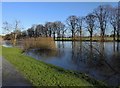
Planning Constraints
- Flood RiskPremium
- Ramsar Wetland SitesPremium
- Area of Outstanding Natural BeautyPremium
- Protected Nature ReservePremium
- Protected WoodlandPremium