Area Overview for WR2 5BZ
Photos of WR2 5BZ
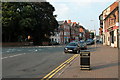
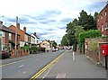
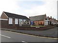
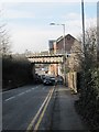
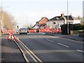
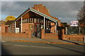
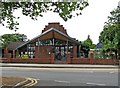
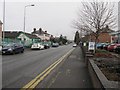
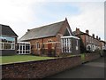
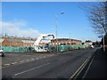
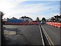
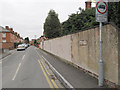
100 photos from this area
Area Information
Key information about the WR2 5BZ including its size, population, and administrative classification.
- Area Type
- Postcode
- Area Size
- 1.3 hectares
- Population
- 1784
- Population Density
- 5074 people/km²
House Prices in WR2 5BZ
83
Properties
£313,125
Average Sold Price
£185,000
Lowest Price
£485,000
Highest Price
Showing 83 properties
| Address | Type | Beds | Baths | Last Sale Price | Last Sale Date | |
|---|---|---|---|---|---|---|
| 71 Bromyard Road, Worcester, WR2 5BZ | Semi-detached | 3 | 3 | £330,000 | Aug 2023 | |
| 21 Bromyard Road, Worcester, WR2 5BZ | Detached | 4 | - | £350,000 | May 2023 | |
| 89 Bromyard Road, Worcester, WR2 5BZ | Semi-detached | 3 | 2 | £365,000 | Dec 2021 | |
| 21A Bromyard Road, Worcester, WR2 5BZ | Detached | 4 | 3 | £370,000 | Jan 2021 | |
| 103 Bromyard Road, Worcester, WR2 5BZ | Terraced | 4 | 1 | £205,000 | Aug 2020 | |
| 87 Bromyard Road, Worcester, WR2 5BZ | house | - | - | £440,000 | Jun 2020 | |
| Welland House, 43 Bromyard Road, Worcester, WR2 5BZ | Detached | 5 | 5 | £485,000 | Jan 2020 | |
| 81 Bromyard Road, Worcester, WR2 5BZ | house | - | - | £230,000 | Jun 2017 | |
| 73 Bromyard Road, Worcester, WR2 5BZ | Semi-detached | 4 | 3 | £245,000 | Sep 2016 | |
| 91 Bromyard Road, Worcester, WR2 5BZ | Semi-detached | 4 | 2 | £265,000 | Nov 2015 |
Page 1 of 9
Energy Efficiency in WR2 5BZ
Amenities
Schools
| Rank | School | Type | Entry gender | Ages |
|---|
Explore more schools in this area
Go to Schools tabDemographics
Household Size
One person
most common
Accommodation Type
Flats
most common
Tenure
36
majority
Ethnic Group
White
most common
Religion
N/A
most common
Household Composition
N/A
most common
Age
47
median
Adults (30-64 years)
most common
Household Deprivation
N/A
with no deprivation
NS-SEC
22
in Lower managerial occupations
Explore more demographic insights in this area
Go to Demographics tabPlanning
Planning Constraints
- Flood RiskPremium
- Ramsar Wetland SitesPremium
- Area of Outstanding Natural BeautyPremium
- Protected Nature ReservePremium
- Protected WoodlandPremium