Area Overview for WR2 5AR
Photos of WR2 5AR
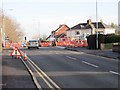
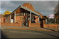
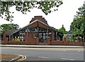
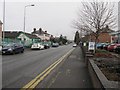
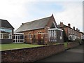
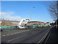
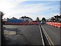
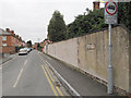
100 photos from this area
Area Information
Key information about the WR2 5AR including its size, population, and administrative classification.
- Area Type
- Postcode
- Area Size
- 9222 m²
- Population
- 2680
- Population Density
- 2602 people/km²
House Prices in WR2 5AR
9
Properties
£175,300
Average Sold Price
£43,000
Lowest Price
£295,000
Highest Price
Showing 9 properties
| Address | Type | Beds | Baths | Last Sale Price | Last Sale Date | |
|---|---|---|---|---|---|---|
| 17 Watery Lane, Worcester, WR2 5AR | Detached | 3 | 1 | £295,000 | Dec 2025 | |
| 21 Watery Lane, Worcester, WR2 5AR | Semi-detached | 3 | 1 | £230,000 | Mar 2024 | |
| 4 Watery Lane, Worcester, WR2 5AR | Semi-detached | 4 | 2 | £173,500 | Sep 2011 | |
| 2 Watery Lane, Worcester, WR2 5AR | office_workshop | - | - | £135,000 | Jan 2003 | |
| 13 Watery Lane, Worcester, WR2 5AR | Semi-detached | - | - | £43,000 | Aug 2001 | |
| Former, 155 Bromyard Road, Worcester, WR2 5AR | Detached | - | - | - | - | |
| 19 Watery Lane, Worcester, WR2 5AR | Terraced | - | - | - | - | |
| 15 Watery Lane, Worcester, WR2 5AR | Semi-detached | - | - | - | - | |
| 11 Watery Lane, Worcester, WR2 5AR | Semi-detached | - | - | - | - |
Energy Efficiency in WR2 5AR
Amenities
Schools
| Rank | School | Type | Entry gender | Ages |
|---|
Explore more schools in this area
Go to Schools tabDemographics
Household Size
Family (3-5 people)
most common
Accommodation Type
Houses
most common
Tenure
67
majority
Ethnic Group
White
most common
Religion
N/A
most common
Household Composition
N/A
most common
Age
47
median
Adults (30-64 years)
most common
Household Deprivation
N/A
with no deprivation
NS-SEC
35
in Lower managerial occupations
Explore more demographic insights in this area
Go to Demographics tabPlanning
Planning Constraints
- Flood RiskPremium
- Ramsar Wetland SitesPremium
- Area of Outstanding Natural BeautyPremium
- Protected Nature ReservePremium
- Protected WoodlandPremium