Area Overview for WR15 8SP
Photos of WR15 8SP
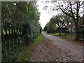
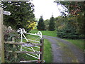
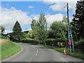
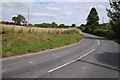
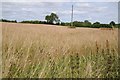
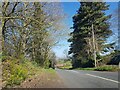
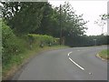
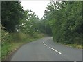
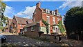
9 photos from this area
Area Information
Key information about the WR15 8SP including its size, population, and administrative classification.
- Area Type
- Postcode
- Area Size
- 1.7 km²
- Population
- 1743
- Population Density
- 33 people/km²
House Prices in WR15 8SP
29
Properties
£330,344
Average Sold Price
£95,500
Lowest Price
£500,000
Highest Price
Showing 29 properties
| Address | Type | Beds | Baths | Last Sale Price | Last Sale Date | |
|---|---|---|---|---|---|---|
| Cold Green Cottage, B 4204 Rochford, Rochford, WR15 8SP | Detached | 3 | 1 | £342,000 | Jan 2025 | |
| Rochford Mount, B 4204 Rochford, Rochford, WR15 8SP | Terraced | 4 | 2 | £452,000 | Mar 2022 | |
| Sunnycroft, B 4204 Rochford, Rochford, WR15 8SP | Bungalow | - | - | £180,000 | Feb 2022 | |
| Hollingtree Cottage, B 4204 Rochford, Rochford, WR15 8SP | Detached | 3 | 1 | £400,000 | Oct 2019 | |
| Mount Cottage, B 4204 Rochford, Rochford, WR15 8SP | Detached | 3 | 1 | £358,250 | Jun 2019 | |
| Dunstan House, B 4204 Rochford, Rochford, WR15 8SP | Detached | 4 | - | £500,000 | Jul 2015 | |
| Croft Cottage, B 4204 Rochford, Rochford, WR15 8SP | Detached | - | - | £315,000 | Jun 2004 | |
| Springfield House, St Dunstans Lane, Rochford, WR15 8SP | house | - | - | £95,500 | Jul 1997 | |
| The Close, B 4204 Rochford, Rochford, WR15 8SP | Detached | 4 | 2 | - | - | |
| The Annexe, Rochford Mount, B 4204 Rochford, Rochford, WR15 8SP | Flat | - | - | - | - |
Page 1 of 3
Energy Efficiency in WR15 8SP
Amenities
Schools
| Rank | School | Type | Entry gender | Ages |
|---|
Explore more schools in this area
Go to Schools tabDemographics
Household Size
Two person
most common
Accommodation Type
Houses
most common
Tenure
80
majority
Ethnic Group
White
most common
Religion
N/A
most common
Household Composition
N/A
most common
Age
47
median
Adults (30-64 years)
most common
Household Deprivation
N/A
with no deprivation
NS-SEC
38
in Lower managerial occupations
Explore more demographic insights in this area
Go to Demographics tabPlanning
Planning Constraints
- Flood RiskPremium
- Ramsar Wetland SitesPremium
- Area of Outstanding Natural BeautyPremium
- Protected Nature ReservePremium
- Protected WoodlandPremium