Area Overview for WR15 8NW
Photos of WR15 8NW
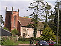
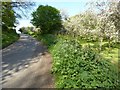
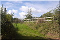
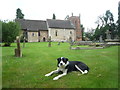
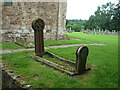
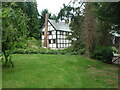
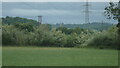
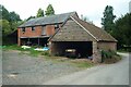
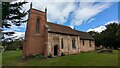
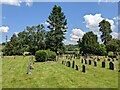
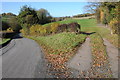
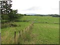
36 photos from this area
Area Information
Key information about the WR15 8NW including its size, population, and administrative classification.
- Area Type
- Postcode
- Area Size
- 1.1 km²
- Population
- 2202
- Population Density
- 40 people/km²
House Prices in WR15 8NW
17
Properties
£715,250
Average Sold Price
£150,000
Lowest Price
£1,300,000
Highest Price
Showing 17 properties
| Address | Type | Beds | Baths | Last Sale Price | Last Sale Date | |
|---|---|---|---|---|---|---|
| Robins End, C 2087 Eastham, Eastham, WR15 8NW | Detached | 11 | - | £1,300,000 | Jun 2018 | |
| Eastham House, C 2091 Eastham, Eastham, WR15 8NW | Detached | - | - | £866,000 | Jun 2005 | |
| The Barn House, C 2087 Eastham, Eastham, WR15 8NW | Detached | - | - | £545,000 | Apr 2003 | |
| The Old Forge, C 2087 Eastham, Eastham, WR15 8NW | Detached | - | - | £150,000 | Jun 2001 | |
| Robins End Cottage, C 2087 Eastham, Eastham, WR15 8NW | Semi-detached | 4 | 3 | - | - | |
| Robins Cottage, C 2087 Eastham, Eastham, WR15 8NW | Semi-detached | 3 | 1 | - | - | |
| Church View, C 2091 Eastham, Eastham, WR15 8NW | Detached | - | - | - | - | |
| The Hockerills, U 95406 Eastham, Eastham, WR15 8NW | Detached | - | - | - | - | |
| Hockerills Mill, Highwood, Eastham, WR15 8NW | Detached | - | - | - | - | |
| Cattershutt, C 2087 Eastham, Eastham, WR15 8NW | Detached | - | - | - | - |
Page 1 of 2
Energy Efficiency in WR15 8NW
Amenities
Schools
| Rank | School | Type | Entry gender | Ages |
|---|
Explore more schools in this area
Go to Schools tabDemographics
Household Size
Two person
most common
Accommodation Type
Houses
most common
Tenure
77
majority
Ethnic Group
White
most common
Religion
N/A
most common
Household Composition
N/A
most common
Age
47
median
Adults (30-64 years)
most common
Household Deprivation
N/A
with no deprivation
NS-SEC
42
in Lower managerial occupations
Explore more demographic insights in this area
Go to Demographics tabPlanning
Planning Constraints
- Flood RiskPremium
- Ramsar Wetland SitesPremium
- Area of Outstanding Natural BeautyPremium
- Protected Nature ReservePremium
- Protected WoodlandPremium