Area Overview for WR14 3LF
Photos of WR14 3LF
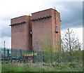
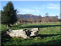
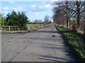
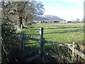
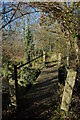
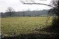
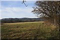
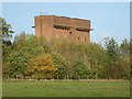
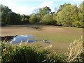
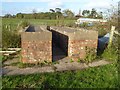
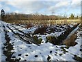
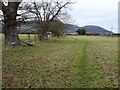
70 photos from this area
Area Information
Key information about the WR14 3LF including its size, population, and administrative classification.
- Area Type
- Postcode
- Area Size
- 83.1 hectares
- Population
- 1687
- Population Density
- 75 people/km²
House Prices in WR14 3LF
16
Properties
£275,374
Average Sold Price
£166,121
Lowest Price
£380,000
Highest Price
Showing 16 properties
| Address | Type | Beds | Baths | Last Sale Price | Last Sale Date | |
|---|---|---|---|---|---|---|
| Jessamine Dairy, Blackmore Park Road, Malvern, WR14 3LF | house | - | - | £166,121 | Nov 2016 | |
| Malvern Lodge, Blackmore Park Road, Malvern, WR14 3LF | house | - | - | £380,000 | Jul 2012 | |
| Blackmore House, Blackmore Park Road, Malvern, WR14 3LF | Detached | - | - | £280,000 | Jul 1998 | |
| 1, Park Farm Cottage, Blackmore Park Road, Malvern, WR14 3LF | Semi-detached | 4 | 2 | - | - | |
| Blackmore Park Farm, Blackmore Park Road, Malvern, WR14 3LF | storage_distribution | 4 | 1 | - | - | |
| 4, Ox Hill Barn, Blackmore Park Farm Barns, Blackmore Park Road, Malvern, WR14 3LF | Semi-detached | 4 | - | - | - | |
| The Coach House, Blackmore Park Farm, Blackmore Park Road, Malvern, WR14 3LF | Flat | - | - | - | - | |
| Three Pillars, Blackmore Park Road, Malvern, WR14 3LF | Bungalow | - | - | - | - | |
| 1, Rushpool Cottage, Blackmore Park Farm Barns, Blackmore Park Road, Malvern, WR14 3LF | storage_distribution | - | - | - | - | |
| 3, Middlebarn, Blackmore Park Farm Barns, Blackmore Park Road, Malvern, WR14 3LF | storage_distribution | - | - | - | - |
Page 1 of 2
Energy Efficiency in WR14 3LF
Amenities
Schools
| Rank | School | Type | Entry gender | Ages |
|---|
Explore more schools in this area
Go to Schools tabDemographics
Household Size
Two person
most common
Accommodation Type
Houses
most common
Tenure
76
majority
Ethnic Group
White
most common
Religion
N/A
most common
Household Composition
N/A
most common
Age
47
median
Adults (30-64 years)
most common
Household Deprivation
N/A
with no deprivation
NS-SEC
40
in Lower managerial occupations
Explore more demographic insights in this area
Go to Demographics tabPlanning
Planning Constraints
- Flood RiskPremium
- Ramsar Wetland SitesPremium
- Area of Outstanding Natural BeautyPremium
- Protected Nature ReservePremium
- Protected WoodlandPremium