Area Overview for WR14 2TU
Photos of WR14 2TU
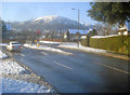
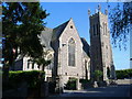
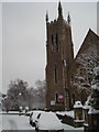
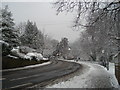
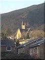
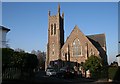
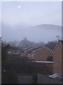
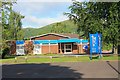
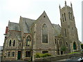
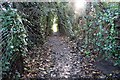
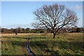
100 photos from this area
Area Information
Key information about the WR14 2TU including its size, population, and administrative classification.
- Area Type
- Postcode
- Area Size
- 5.1 hectares
- Population
- 1497
- Population Density
- 1518 people/km²
House Prices in WR14 2TU
25
Properties
£294,045
Average Sold Price
£56,500
Lowest Price
£895,000
Highest Price
Showing 25 properties
| Address | Type | Beds | Baths | Last Sale Price | Last Sale Date | |
|---|---|---|---|---|---|---|
| 8 Sling Lane, Malvern, WR14 2TU | Detached | 4 | 2 | £895,000 | Nov 2022 | |
| 18 Sling Lane, Malvern, WR14 2TU | Detached | 3 | 1 | £379,950 | Aug 2018 | |
| 3 Sling Lane, Malvern, WR14 2TU | Detached | 5 | - | £567,000 | Jun 2016 | |
| 11 Sling Lane, Malvern, WR14 2TU | house | - | - | £287,500 | Jan 2016 | |
| 24 Sling Lane, Malvern, WR14 2TU | Detached | 3 | 1 | £268,000 | Jan 2016 | |
| 4 Sling Lane, Malvern, WR14 2TU | house | - | - | £433,000 | Nov 2015 | |
| 23 Sling Lane, Malvern, WR14 2TU | Terraced | 2 | 1 | £156,000 | Oct 2015 | |
| 15 Sling Lane, Malvern, WR14 2TU | Terraced | 2 | 1 | £152,500 | Oct 2012 | |
| 1 Sling Lane, Malvern, WR14 2TU | house | - | - | £495,000 | Aug 2010 | |
| 7 Sling Lane, Malvern, WR14 2TU | Semi-detached | 3 | - | £176,220 | Jan 2010 |
Page 1 of 3
Energy Efficiency in WR14 2TU
Amenities
Schools
| Rank | School | Type | Entry gender | Ages |
|---|
Explore more schools in this area
Go to Schools tabDemographics
Household Size
One person
most common
Accommodation Type
Flats
most common
Tenure
63
majority
Ethnic Group
White
most common
Religion
N/A
most common
Household Composition
N/A
most common
Age
47
median
Adults (30-64 years)
most common
Household Deprivation
N/A
with no deprivation
NS-SEC
48
in Lower managerial occupations
Explore more demographic insights in this area
Go to Demographics tabPlanning
Planning Constraints
- Flood RiskPremium
- Ramsar Wetland SitesPremium
- Area of Outstanding Natural BeautyPremium
- Protected Nature ReservePremium
- Protected WoodlandPremium