Area Overview for WR14 1QZ
Photos of WR14 1QZ
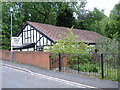
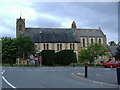
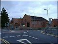
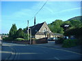
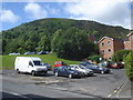
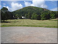
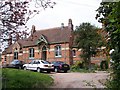
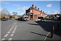
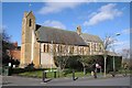

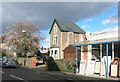
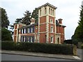
100 photos from this area
Area Information
Key information about the WR14 1QZ including its size, population, and administrative classification.
- Area Type
- Postcode
- Area Size
- 1.7 hectares
- Population
- 1399
- Population Density
- 1680 people/km²
House Prices in WR14 1QZ
32
Properties
£206,430
Average Sold Price
£67,000
Lowest Price
£415,000
Highest Price
Showing 32 properties
| Address | Type | Beds | Baths | Last Sale Price | Last Sale Date | |
|---|---|---|---|---|---|---|
| 15 Woodbury Rise, Malvern, WR14 1QZ | Detached | 4 | 1 | £415,000 | Mar 2024 | |
| 20 Woodbury Rise, Malvern, WR14 1QZ | Detached | 3 | 1 | £365,000 | Jan 2024 | |
| 38 Woodbury Rise, Malvern, WR14 1QZ | Detached | 4 | 1 | £249,999 | Jun 2022 | |
| 28 Woodbury Rise, Malvern, WR14 1QZ | Detached | 3 | - | £390,000 | Sep 2021 | |
| 30 Woodbury Rise, Malvern, WR14 1QZ | Detached | 3 | - | £230,000 | Dec 2019 | |
| 12 Woodbury Rise, Malvern, WR14 1QZ | house | - | - | £182,000 | Sep 2018 | |
| 24 Woodbury Rise, Malvern, WR14 1QZ | Semi-detached | 2 | 1 | £232,000 | Aug 2015 | |
| 42 Woodbury Rise, Malvern, WR14 1QZ | Semi-detached | 3 | - | £189,000 | Jun 2014 | |
| 36 Woodbury Rise, Malvern, WR14 1QZ | Detached | 3 | 1 | £215,000 | Jun 2014 | |
| 26 Woodbury Rise, Malvern, WR14 1QZ | house | 3 | - | £225,000 | May 2012 |
Page 1 of 4
Energy Efficiency in WR14 1QZ
Amenities
Schools
| Rank | School | Type | Entry gender | Ages |
|---|
Explore more schools in this area
Go to Schools tabDemographics
Household Size
Two person
most common
Accommodation Type
Houses
most common
Tenure
77
majority
Ethnic Group
White
most common
Religion
N/A
most common
Household Composition
N/A
most common
Age
47
median
Adults (30-64 years)
most common
Household Deprivation
N/A
with no deprivation
NS-SEC
49
in Lower managerial occupations
Explore more demographic insights in this area
Go to Demographics tabPlanning
Planning Constraints
- Flood RiskPremium
- Ramsar Wetland SitesPremium
- Area of Outstanding Natural BeautyPremium
- Protected Nature ReservePremium
- Protected WoodlandPremium