Area Overview for WR14 1LF
Photos of WR14 1LF
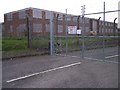
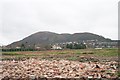
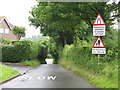
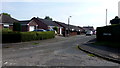
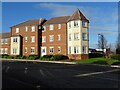
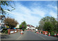
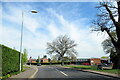
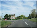
21 photos from this area
Area Information
Key information about the WR14 1LF including its size, population, and administrative classification.
- Area Type
- Postcode
- Area Size
- 2.3 hectares
- Population
- 2804
- Population Density
- 756 people/km²
House Prices in WR14 1LF
22
Properties
£240,964
Average Sold Price
£81,000
Lowest Price
£365,000
Highest Price
Showing 22 properties
| Address | Type | Beds | Baths | Last Sale Price | Last Sale Date | |
|---|---|---|---|---|---|---|
| 120 Leigh Sinton Road, Malvern, WR14 1LF | Semi-detached | 4 | 1 | £328,000 | Dec 2022 | |
| 112 Leigh Sinton Road, Malvern, WR14 1LF | house | - | - | £300,000 | Feb 2021 | |
| 146 Leigh Sinton Road, Malvern, WR14 1LF | Semi-detached | 3 | 1 | £213,000 | Dec 2016 | |
| 126 Leigh Sinton Road, Malvern, WR14 1LF | Detached | 4 | 2 | £348,500 | Jun 2016 | |
| 124 Leigh Sinton Road, Malvern, WR14 1LF | house | 3 | - | £280,000 | Jan 2016 | |
| 138 Leigh Sinton Road, Malvern, WR14 1LF | Semi-detached | 3 | - | £210,000 | Feb 2014 | |
| Hazelwood, Leigh Sinton Road, Malvern, WR14 1LF | Detached | 4 | 3 | £334,000 | Oct 2013 | |
| Lower House Farm, Leigh Sinton Road, Malvern, WR14 1LF | house | - | - | £365,000 | Apr 2010 | |
| 108 Leigh Sinton Road, Malvern, WR14 1LF | house | - | - | £142,000 | Dec 2009 | |
| 148 Leigh Sinton Road, Malvern, WR14 1LF | Semi-detached | - | - | £230,000 | Jul 2009 |
Page 1 of 3
Energy Efficiency in WR14 1LF
Amenities
Schools
| Rank | School | Type | Entry gender | Ages |
|---|
Explore more schools in this area
Go to Schools tabDemographics
Household Size
Two person
most common
Accommodation Type
Houses
most common
Tenure
75
majority
Ethnic Group
White
most common
Religion
N/A
most common
Household Composition
N/A
most common
Age
47
median
Adults (30-64 years)
most common
Household Deprivation
N/A
with no deprivation
NS-SEC
40
in Lower managerial occupations
Explore more demographic insights in this area
Go to Demographics tabPlanning
Planning Constraints
- Flood RiskPremium
- Ramsar Wetland SitesPremium
- Area of Outstanding Natural BeautyPremium
- Protected Nature ReservePremium
- Protected WoodlandPremium