Area Overview for WR13 5EN
Photos of WR13 5EN
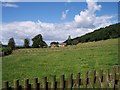
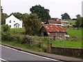
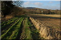
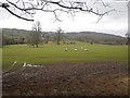
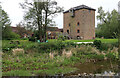
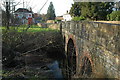
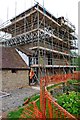
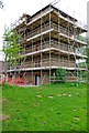
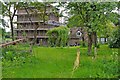
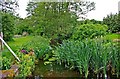
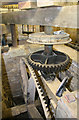
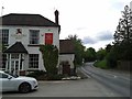
46 photos from this area
Area Information
Key information about the WR13 5EN including its size, population, and administrative classification.
- Area Type
- Postcode
- Area Size
- 14.8 hectares
- Population
- 1398
- Population Density
- 109 people/km²
House Prices in WR13 5EN
5
Properties
£269,333
Average Sold Price
£70,000
Lowest Price
£443,000
Highest Price
Showing 5 properties
| Address | Type | Beds | Baths | Last Sale Price | Last Sale Date | |
|---|---|---|---|---|---|---|
| Pontic Cottage, A 4103 From Halesend Grittles End To Worcestershire Boundary, Storridge, WR13 5EN | Detached | 4 | 2 | £443,000 | Jan 2021 | |
| Hillview Barn, A 4103 From Old Roman Road To Halesend Grittles End, Cradley, WR13 5EN | Detached | - | - | £295,000 | Jul 2010 | |
| Autumn Court, A 4103 From Halesend Grittles End To Worcestershire Boundary, Storridge, WR13 5EN | house | - | - | £70,000 | Nov 2001 | |
| Woodland View, Millbank Garage, A 4103 From Halesend Grittles End To Worcestershire Boundary, Storridge, WR13 5EN | Flat | 2 | 1 | - | - | |
| The Watering Hole, Millbank Garage, A 4103 From Halesend Grittles End To Worcestershire Boundary, Storridge, WR13 5EN | shop | - | - | - | - |
Energy Efficiency in WR13 5EN
Amenities
Schools
| Rank | School | Type | Entry gender | Ages |
|---|
Explore more schools in this area
Go to Schools tabDemographics
Household Size
Two person
most common
Accommodation Type
Houses
most common
Tenure
82
majority
Ethnic Group
White
most common
Religion
N/A
most common
Household Composition
N/A
most common
Age
47
median
Adults (30-64 years)
most common
Household Deprivation
N/A
with no deprivation
NS-SEC
47
in Lower managerial occupations
Explore more demographic insights in this area
Go to Demographics tabPlanning
Planning Constraints
- Flood RiskPremium
- Ramsar Wetland SitesPremium
- Area of Outstanding Natural BeautyPremium
- Protected Nature ReservePremium
- Protected WoodlandPremium