Area Overview for WR11 8LG
Photos of WR11 8LG
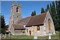
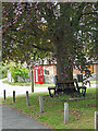
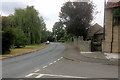
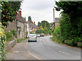
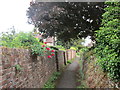
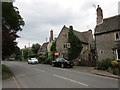
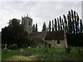
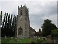
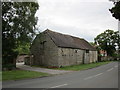
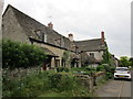
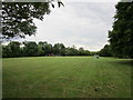
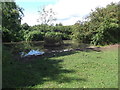
40 photos from this area
Area Information
Key information about the WR11 8LG including its size, population, and administrative classification.
- Area Type
- Postcode
- Area Size
- 3.4 hectares
- Population
- 1542
- Population Density
- 153 people/km²
House Prices in WR11 8LG
9
Properties
£465,000
Average Sold Price
£340,000
Lowest Price
£610,000
Highest Price
Showing 9 properties
| Address | Type | Beds | Baths | Last Sale Price | Last Sale Date | |
|---|---|---|---|---|---|---|
| Orchard Lodge, Main Street, Cleeve Prior, WR11 8LG | Bungalow | 3 | 2 | £610,000 | Sep 2023 | |
| Blacksmiths Cottage, Main Street, Cleeve Prior, WR11 8LG | house | 3 | 1 | £485,000 | Oct 2022 | |
| 1, School Cottages, Main Street, Cleeve Prior, WR11 8LG | Terraced | 2 | - | £340,000 | Apr 2016 | |
| Stone Barn, Main Street, Cleeve Prior, WR11 8LG | house | 4 | - | £487,500 | Feb 2011 | |
| Widford House, Main Street, Cleeve Prior, WR11 8LG | Cottage | 2 | 1 | £402,500 | Jul 2006 | |
| The Forge Adjacent, Blacksmiths Cottage, Main Street, Cleeve Prior, WR11 8LG | Cottage | 2 | 1 | - | - | |
| 2, School Cottages, Main Street, Cleeve Prior, WR11 8LG | Semi-detached | - | - | - | - | |
| Mulberry House, Main Street, Cleeve Prior, WR11 8LG | Detached | - | - | - | - | |
| Japonica Cottage, Main Street, Cleeve Prior, WR11 8LG | Semi-detached | - | - | - | - |
Energy Efficiency in WR11 8LG
Amenities
Schools
| Rank | School | Type | Entry gender | Ages |
|---|
Explore more schools in this area
Go to Schools tabDemographics
Household Size
Two person
most common
Accommodation Type
Houses
most common
Tenure
76
majority
Ethnic Group
White
most common
Religion
N/A
most common
Household Composition
N/A
most common
Age
47
median
Adults (30-64 years)
most common
Household Deprivation
N/A
with no deprivation
NS-SEC
38
in Lower managerial occupations
Explore more demographic insights in this area
Go to Demographics tabPlanning
Planning Constraints
- Flood RiskPremium
- Ramsar Wetland SitesPremium
- Area of Outstanding Natural BeautyPremium
- Protected Nature ReservePremium
- Protected WoodlandPremium