Area Overview for WR11 7UA
Photos of WR11 7UA
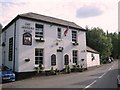
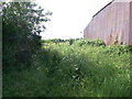
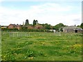
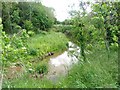
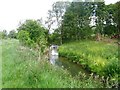
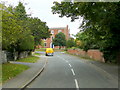
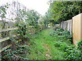
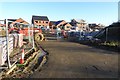
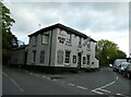
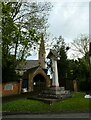
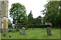
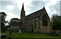
49 photos from this area
Area Information
Key information about the WR11 7UA including its size, population, and administrative classification.
- Area Type
- Postcode
- Area Size
- 2.8 hectares
- Population
- 1355
- Population Density
- 78 people/km²
House Prices in WR11 7UA
28
Properties
£284,408
Average Sold Price
£66,000
Lowest Price
£655,000
Highest Price
Showing 28 properties
| Address | Type | Beds | Baths | Last Sale Price | Last Sale Date | |
|---|---|---|---|---|---|---|
| Denecroft, 29 Winchcombe Road, Sedgeberrow, WR11 7UA | Detached | 3 | 1 | £445,000 | Mar 2025 | |
| Mill Cottage, 33 Winchcombe Road, Sedgeberrow, WR11 7UA | Detached | - | - | £655,000 | Aug 2023 | |
| Isbourne, 21 Winchcombe Road, Sedgeberrow, WR11 7UA | house | 3 | - | £398,500 | Nov 2022 | |
| 31A Winchcombe Road, Sedgeberrow, WR11 7UA | house | - | - | £415,000 | Sep 2022 | |
| 31 Winchcombe Road, Sedgeberrow, WR11 7UA | house | - | - | £420,000 | Jul 2021 | |
| Willow Cottage, 1 The Yard, Sedgeberrow, WR11 7UA | Flat | - | - | £223,000 | Jan 2021 | |
| Woodcote, 7 Winchcombe Road, Sedgeberrow, WR11 7UA | Semi-detached | 4 | 2 | £356,000 | Oct 2020 | |
| Upton, 15 Winchcombe Road, Sedgeberrow, WR11 7UA | house | 3 | 1 | £265,000 | Aug 2018 | |
| Kingham, 23 Winchcombe Road, Sedgeberrow, WR11 7UA | Semi-detached | 3 | 1 | £243,000 | Mar 2018 | |
| Woodleigh, 25A Winchcombe Road, Sedgeberrow, WR11 7UA | Bungalow | 2 | - | £200,000 | Sep 2016 |
Page 1 of 3
Energy Efficiency in WR11 7UA
Amenities
Schools
| Rank | School | Type | Entry gender | Ages |
|---|
Explore more schools in this area
Go to Schools tabDemographics
Household Size
Two person
most common
Accommodation Type
Houses
most common
Tenure
79
majority
Ethnic Group
White
most common
Religion
N/A
most common
Household Composition
N/A
most common
Age
47
median
Adults (30-64 years)
most common
Household Deprivation
N/A
with no deprivation
NS-SEC
39
in Lower managerial occupations
Explore more demographic insights in this area
Go to Demographics tabPlanning
Planning Constraints
- Flood RiskPremium
- Ramsar Wetland SitesPremium
- Area of Outstanding Natural BeautyPremium
- Protected Nature ReservePremium
- Protected WoodlandPremium