Area Overview for WR11 7EU
Photos of WR11 7EU
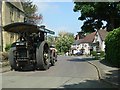
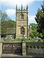
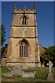
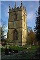
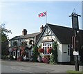
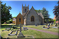
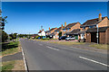
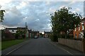
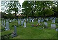
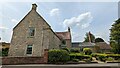
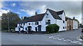
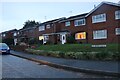
34 photos from this area
Area Information
Key information about the WR11 7EU including its size, population, and administrative classification.
- Area Type
- Postcode
- Area Size
- 14.8 hectares
- Population
- 1386
- Population Density
- 292 people/km²
House Prices in WR11 7EU
50
Properties
£217,728
Average Sold Price
£54,000
Lowest Price
£500,000
Highest Price
Showing 50 properties
| Address | Type | Beds | Baths | Last Sale Price | Last Sale Date | |
|---|---|---|---|---|---|---|
| 18 Brewers Lane, Badsey, WR11 7EU | Cottage | 2 | 1 | £242,000 | Jan 2025 | |
| Jackson House, 25A Brewers Lane, Badsey, WR11 7EU | house | - | - | £221,500 | May 2024 | |
| Farriers Cottage, Brewers Lane, Badsey, WR11 7EU | Semi-detached | 2 | 1 | £220,000 | Mar 2024 | |
| 29 Brewers Lane, Badsey, WR11 7EU | Detached | 4 | 2 | £500,000 | Dec 2023 | |
| 13 Brewers Lane, Badsey, WR11 7EU | Terraced | 4 | 1 | £257,500 | Nov 2023 | |
| 17 Brewers Lane, Badsey, WR11 7EU | Terraced | 2 | 1 | £235,000 | Mar 2021 | |
| Poachers Cottage, 16B Brewers Lane, Badsey, WR11 7EU | house | 2 | - | £168,000 | Nov 2020 | |
| 45 Brewers Lane, Badsey, WR11 7EU | Bungalow | 3 | 2 | £335,000 | Nov 2020 | |
| 31 Brewers Lane, Badsey, WR11 7EU | Detached | 3 | 2 | £399,950 | Nov 2020 | |
| Gladstone Warren, 23B Brewers Lane, Badsey, WR11 7EU | Detached | 4 | 2 | £145,000 | Mar 2018 |
Page 1 of 5
Energy Efficiency in WR11 7EU
Amenities
Schools
| Rank | School | Type | Entry gender | Ages |
|---|
Explore more schools in this area
Go to Schools tabDemographics
Household Size
Two person
most common
Accommodation Type
Houses
most common
Tenure
89
majority
Ethnic Group
White
most common
Religion
N/A
most common
Household Composition
N/A
most common
Age
47
median
Adults (30-64 years)
most common
Household Deprivation
N/A
with no deprivation
NS-SEC
37
in Lower managerial occupations
Explore more demographic insights in this area
Go to Demographics tabPlanning
Planning Constraints
- Flood RiskPremium
- Ramsar Wetland SitesPremium
- Area of Outstanding Natural BeautyPremium
- Protected Nature ReservePremium
- Protected WoodlandPremium