Area Overview for WR11 4UL
Photos of WR11 4UL
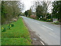
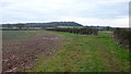
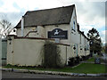
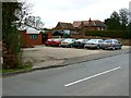
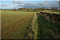
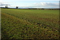

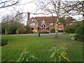
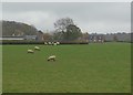
9 photos from this area
Area Information
Key information about the WR11 4UL including its size, population, and administrative classification.
- Area Type
- Postcode
- Area Size
- 93.8 hectares
- Population
- 1214
- Population Density
- 41 people/km²
House Prices in WR11 4UL
37
Properties
£348,850
Average Sold Price
£5,303
Lowest Price
£765,000
Highest Price
Showing 37 properties
| Address | Type | Beds | Baths | Last Sale Price | Last Sale Date | |
|---|---|---|---|---|---|---|
| Beam House, Radford Road, Rous Lench, WR11 4UL | Detached | 3 | 2 | £765,000 | Nov 2025 | |
| 1 Radford Road, Rous Lench, WR11 4UL | house | 3 | 1 | £291,600 | May 2025 | |
| 2 Radford Road, Rous Lench, WR11 4UL | Semi-detached | 3 | 2 | £450,000 | Mar 2025 | |
| 5 Radford Road, Rous Lench, WR11 4UL | Semi-detached | 5 | 2 | £410,000 | Dec 2022 | |
| 7 Radford Road, Rous Lench, WR11 4UL | house | - | - | £392,000 | Mar 2021 | |
| Ellanfield House, 4 Radford Road, Rous Lench, WR11 4UL | house | - | - | £395,000 | Mar 2021 | |
| Horsemans Farm Cottage, Radford Road, Rous Lench, WR11 4UL | Semi-detached | 3 | 2 | £575,000 | Feb 2021 | |
| Jakrose, Radford Road, Rous Lench, WR11 4UL | Semi-detached | - | - | £5,303 | Jul 2018 | |
| Little Orchard, Radford Road, Rous Lench, WR11 4UL | Bungalow | 3 | - | £395,000 | May 2017 | |
| 6 Radford Road, Rous Lench, WR11 4UL | Semi-detached | 3 | 1 | £295,000 | Nov 2010 |
Page 1 of 4
Energy Efficiency in WR11 4UL
Amenities
Schools
| Rank | School | Type | Entry gender | Ages |
|---|
Explore more schools in this area
Go to Schools tabDemographics
Household Size
Two person
most common
Accommodation Type
Houses
most common
Tenure
84
majority
Ethnic Group
White
most common
Religion
N/A
most common
Household Composition
N/A
most common
Age
47
median
Adults (30-64 years)
most common
Household Deprivation
N/A
with no deprivation
NS-SEC
44
in Lower managerial occupations
Explore more demographic insights in this area
Go to Demographics tabPlanning
Planning Constraints
- Flood RiskPremium
- Ramsar Wetland SitesPremium
- Area of Outstanding Natural BeautyPremium
- Protected Nature ReservePremium