Area Overview for WR11 4EG
Photos of WR11 4EG
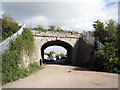
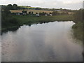
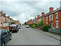
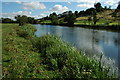
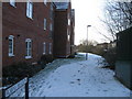
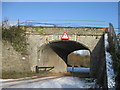
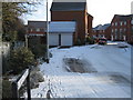
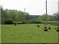
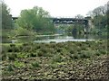
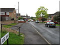
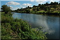
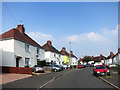
41 photos from this area
Area Information
Key information about the WR11 4EG including its size, population, and administrative classification.
- Area Type
- Postcode
- Area Size
- 3.6 hectares
- Population
- 1779
- Population Density
- 2072 people/km²
House Prices in WR11 4EG
45
Properties
£130,937
Average Sold Price
£46,500
Lowest Price
£270,000
Highest Price
Showing 45 properties
| Address | Type | Beds | Baths | Last Sale Price | Last Sale Date | |
|---|---|---|---|---|---|---|
| 79 St Marys Road, Evesham, WR11 4EG | Terraced | 2 | 1 | £225,000 | Nov 2025 | |
| 53 St Marys Road, Evesham, WR11 4EG | house | 2 | 1 | £195,000 | Mar 2025 | |
| 77 St Marys Road, Evesham, WR11 4EG | Terraced | 2 | 1 | £187,500 | Mar 2024 | |
| 23 St Marys Road, Evesham, WR11 4EG | Maisonette | 2 | 1 | £114,000 | Jul 2023 | |
| 91 St Marys Road, Evesham, WR11 4EG | Semi-detached | 2 | 1 | £180,000 | Oct 2022 | |
| 7 St Marys Road, Evesham, WR11 4EG | house | - | - | £270,000 | Jun 2022 | |
| 15 St Marys Road, Evesham, WR11 4EG | Maisonette | 2 | - | £126,500 | Jun 2021 | |
| 21 St Marys Road, Evesham, WR11 4EG | Flat | - | - | £116,000 | Feb 2021 | |
| 75 St Marys Road, Evesham, WR11 4EG | Terraced | 2 | 1 | £152,500 | Dec 2020 | |
| 31 St Marys Road, Evesham, WR11 4EG | Maisonette | 2 | 1 | £113,000 | Feb 2020 |
Page 1 of 5
Energy Efficiency in WR11 4EG
Amenities
Schools
| Rank | School | Type | Entry gender | Ages |
|---|
Explore more schools in this area
Go to Schools tabDemographics
Household Size
One person
most common
Accommodation Type
Houses
most common
Tenure
48
majority
Ethnic Group
White
most common
Religion
N/A
most common
Household Composition
N/A
most common
Age
47
median
Adults (30-64 years)
most common
Household Deprivation
N/A
with no deprivation
NS-SEC
22
in Lower managerial occupations
Explore more demographic insights in this area
Go to Demographics tabPlanning
Planning Constraints
- Flood RiskPremium
- Ramsar Wetland SitesPremium
- Area of Outstanding Natural BeautyPremium
- Protected Nature ReservePremium
- Protected WoodlandPremium