Area Overview for WR11 2LW
Photos of WR11 2LW
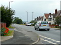
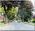
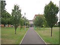
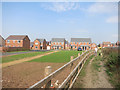
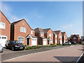
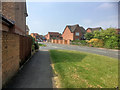
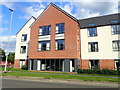
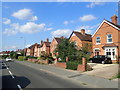
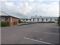
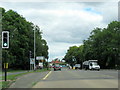
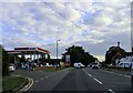
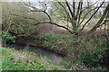
26 photos from this area
Area Information
Key information about the WR11 2LW including its size, population, and administrative classification.
- Area Type
- Postcode
- Area Size
- 3.8 hectares
- Population
- 1786
- Population Density
- 1825 people/km²
House Prices in WR11 2LW
39
Properties
£287,195
Average Sold Price
£90,000
Lowest Price
£415,000
Highest Price
Showing 39 properties
| Address | Type | Beds | Baths | Last Sale Price | Last Sale Date | |
|---|---|---|---|---|---|---|
| 146 Cheltenham Road, Evesham, WR11 2LW | Detached | 3 | 2 | £350,000 | Oct 2025 | |
| 142 Cheltenham Road, Evesham, WR11 2LW | house | 3 | 1 | £353,000 | Oct 2024 | |
| 160 Cheltenham Road, Evesham, WR11 2LW | Detached | 3 | 1 | £368,600 | Feb 2024 | |
| 190 Cheltenham Road, Evesham, WR11 2LW | house | - | - | £367,500 | Apr 2023 | |
| 186 Cheltenham Road, Evesham, WR11 2LW | house | 3 | 1 | £415,000 | Mar 2022 | |
| 172 Cheltenham Road, Evesham, WR11 2LW | house | - | - | £358,000 | Dec 2021 | |
| 216 Cheltenham Road, Evesham, WR11 2LW | Detached | 4 | - | £350,000 | Dec 2019 | |
| 150 Cheltenham Road, Evesham, WR11 2LW | house | - | - | £280,000 | Nov 2018 | |
| 208 Cheltenham Road, Evesham, WR11 2LW | house | - | - | £352,000 | Sep 2018 | |
| 214 Cheltenham Road, Evesham, WR11 2LW | Detached | 4 | 2 | £340,000 | Aug 2018 |
Page 1 of 4
Energy Efficiency in WR11 2LW
Amenities
Schools
| Rank | School | Type | Entry gender | Ages |
|---|
Explore more schools in this area
Go to Schools tabDemographics
Household Size
Family (3-5 people)
most common
Accommodation Type
Houses
most common
Tenure
76
majority
Ethnic Group
White
most common
Religion
N/A
most common
Household Composition
N/A
most common
Age
47
median
Adults (30-64 years)
most common
Household Deprivation
N/A
with no deprivation
NS-SEC
36
in Lower managerial occupations
Explore more demographic insights in this area
Go to Demographics tabPlanning
Planning Constraints
- Flood RiskPremium
- Ramsar Wetland SitesPremium
- Area of Outstanding Natural BeautyPremium
- Protected Nature ReservePremium
- Protected WoodlandPremium