Area Overview for WR11 2AS
Photos of WR11 2AS
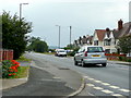
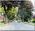
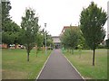
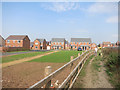
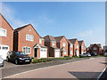
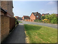
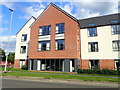
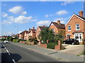
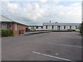
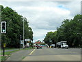
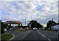
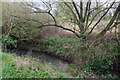
26 photos from this area
Area Information
Key information about the WR11 2AS including its size, population, and administrative classification.
- Area Type
- Postcode
- Area Size
- 1.0 hectares
- Population
- 1786
- Population Density
- 1825 people/km²
House Prices in WR11 2AS
36
Properties
£161,266
Average Sold Price
£46,995
Lowest Price
£300,000
Highest Price
Showing 36 properties
| Address | Type | Beds | Baths | Last Sale Price | Last Sale Date | |
|---|---|---|---|---|---|---|
| 49 St Davids Drive, Evesham, WR11 2AS | Terraced | 2 | 1 | £240,000 | Oct 2022 | |
| 59 St Davids Drive, Evesham, WR11 2AS | Retail | 2 | 1 | £240,000 | Mar 2022 | |
| 33 St Davids Drive, Evesham, WR11 2AS | house | 2 | - | £164,000 | Mar 2021 | |
| 53 St Davids Drive, Evesham, WR11 2AS | house | - | - | £192,500 | Dec 2020 | |
| 73 St Davids Drive, Evesham, WR11 2AS | house | - | - | £179,950 | Nov 2020 | |
| 65 St Davids Drive, Evesham, WR11 2AS | Terraced | - | - | £176,000 | Dec 2019 | |
| 23 St Davids Drive, Evesham, WR11 2AS | house | - | - | £262,500 | Dec 2018 | |
| 1 St Davids Drive, Evesham, WR11 2AS | house | 4 | - | £300,000 | Nov 2018 | |
| 15 St Davids Drive, Evesham, WR11 2AS | Detached | 3 | 2 | £219,500 | May 2017 | |
| 7 St Davids Drive, Evesham, WR11 2AS | Semi-detached | 2 | - | £165,250 | Jan 2017 |
Page 1 of 4
Energy Efficiency in WR11 2AS
Amenities
Schools
| Rank | School | Type | Entry gender | Ages |
|---|
Explore more schools in this area
Go to Schools tabDemographics
Household Size
Family (3-5 people)
most common
Accommodation Type
Houses
most common
Tenure
76
majority
Ethnic Group
White
most common
Religion
N/A
most common
Household Composition
N/A
most common
Age
47
median
Adults (30-64 years)
most common
Household Deprivation
N/A
with no deprivation
NS-SEC
36
in Lower managerial occupations
Explore more demographic insights in this area
Go to Demographics tabPlanning
Planning Constraints
- Flood RiskPremium
- Ramsar Wetland SitesPremium
- Area of Outstanding Natural BeautyPremium
- Protected Nature ReservePremium
- Protected WoodlandPremium