Area Overview for WR10 3EZ
Photos of WR10 3EZ
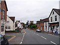

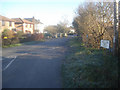
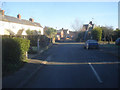
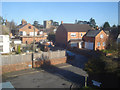

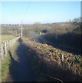


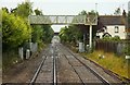
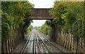

100 photos from this area
Area Information
Key information about the WR10 3EZ including its size, population, and administrative classification.
- Area Type
- Postcode
- Area Size
- 5678 m²
- Population
- 1285
- Population Density
- 151 people/km²
House Prices in WR10 3EZ
9
Properties
£221,066
Average Sold Price
£87,090
Lowest Price
£355,000
Highest Price
Showing 9 properties
| Address | Type | Beds | Baths | Last Sale Price | Last Sale Date | |
|---|---|---|---|---|---|---|
| 2 Station Gardens, Eckington, WR10 3EZ | Bungalow | 2 | 1 | £310,000 | Mar 2025 | |
| 9 Station Gardens, Eckington, WR10 3EZ | Bungalow | - | - | £355,000 | May 2021 | |
| 1 Station Gardens, Eckington, WR10 3EZ | Bungalow | - | - | £307,000 | Apr 2017 | |
| 7 Station Gardens, Eckington, WR10 3EZ | Bungalow | - | - | £244,500 | Aug 2016 | |
| 3 Station Gardens, Eckington, WR10 3EZ | Bungalow | 2 | - | £181,500 | Aug 2012 | |
| 4 Station Gardens, Eckington, WR10 3EZ | Detached | - | - | £187,000 | Sep 2008 | |
| Lerryn, 5 Station Gardens, Eckington, WR10 3EZ | Detached | - | - | £224,000 | Oct 2003 | |
| 8 Station Gardens, Eckington, WR10 3EZ | Detached | - | - | £87,090 | Jul 1998 | |
| 6 Station Gardens, Eckington, WR10 3EZ | Detached | - | - | £93,500 | Oct 1997 |
Energy Efficiency in WR10 3EZ
Amenities
Schools
| Rank | School | Type | Entry gender | Ages |
|---|
Explore more schools in this area
Go to Schools tabDemographics
Household Size
Two person
most common
Accommodation Type
Houses
most common
Tenure
86
majority
Ethnic Group
White
most common
Religion
N/A
most common
Household Composition
N/A
most common
Age
47
median
Adults (30-64 years)
most common
Household Deprivation
N/A
with no deprivation
NS-SEC
45
in Lower managerial occupations
Explore more demographic insights in this area
Go to Demographics tabPlanning
Planning Constraints
- Flood RiskPremium
- Ramsar Wetland SitesPremium
- Area of Outstanding Natural BeautyPremium
- Protected Nature ReservePremium
- Protected WoodlandPremium