Area Overview for WR10 2LY
Photos of WR10 2LY
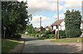
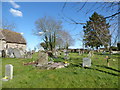

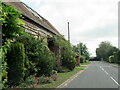
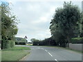
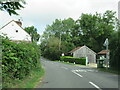
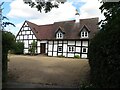
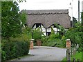
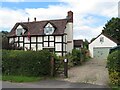
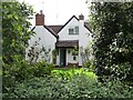
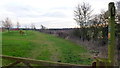
17 photos from this area
Area Information
Key information about the WR10 2LY including its size, population, and administrative classification.
- Area Type
- Postcode
- Area Size
- 96.0 hectares
- Population
- 1401
- Population Density
- 106 people/km²
House Prices in WR10 2LY
50
Properties
£381,603
Average Sold Price
£139,950
Lowest Price
£770,000
Highest Price
Showing 50 properties
| Address | Type | Beds | Baths | Last Sale Price | Last Sale Date | |
|---|---|---|---|---|---|---|
| Pippin Cottage, Broad Lane, Bishampton, WR10 2LY | Detached | 3 | 1 | £530,000 | Aug 2025 | |
| Pax, Broad Lane, Bishampton, WR10 2LY | Bungalow | 3 | 1 | £282,500 | Feb 2021 | |
| Jasmine Cottage, Broad Lane, Bishampton, WR10 2LY | house | 3 | 1 | £455,000 | Feb 2018 | |
| Woodcote House, Broad Lane, Bishampton, WR10 2LY | Detached | 5 | 4 | £770,000 | Aug 2016 | |
| Huntsmans Cottage, Broad Lane, Bishampton, WR10 2LY | Detached | 3 | 1 | £518,000 | Apr 2016 | |
| Rose Dale, Broad Lane, Bishampton, WR10 2LY | Detached | 3 | 1 | £282,000 | Sep 2009 | |
| Lodge Cottage, Broad Lane, Bishampton, WR10 2LY | house | - | - | £231,000 | Jul 2009 | |
| Willow Cottage, Broad Lane, Bishampton, WR10 2LY | Detached | - | - | £350,000 | Apr 2008 | |
| Stonewold, Broad Lane, Bishampton, WR10 2LY | Detached | - | - | £382,500 | Mar 2008 | |
| Porthcern, Broad Lane, Bishampton, WR10 2LY | Detached | - | - | £530,000 | Jun 2007 |
Page 1 of 5
Energy Efficiency in WR10 2LY
Amenities
Schools
| Rank | School | Type | Entry gender | Ages |
|---|
Explore more schools in this area
Go to Schools tabDemographics
Household Size
Two person
most common
Accommodation Type
Houses
most common
Tenure
81
majority
Ethnic Group
White
most common
Religion
N/A
most common
Household Composition
N/A
most common
Age
47
median
Adults (30-64 years)
most common
Household Deprivation
N/A
with no deprivation
NS-SEC
40
in Lower managerial occupations
Explore more demographic insights in this area
Go to Demographics tabPlanning
Planning Constraints
- Flood RiskPremium
- Ramsar Wetland SitesPremium
- Area of Outstanding Natural BeautyPremium
- Protected Nature ReservePremium
- Protected WoodlandPremium