Area Overview for WR10 2EX
Photos of WR10 2EX
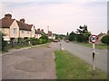
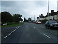
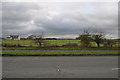
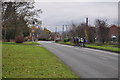
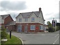
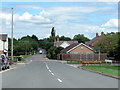
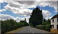
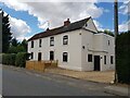
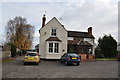
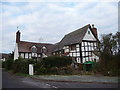
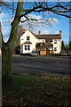
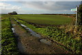
13 photos from this area
Area Information
Key information about the WR10 2EX including its size, population, and administrative classification.
- Area Type
- Postcode
- Area Size
- 21.8 hectares
- Population
- 1842
- Population Density
- 154 people/km²
House Prices in WR10 2EX
37
Properties
£212,400
Average Sold Price
£48,500
Lowest Price
£480,000
Highest Price
Showing 37 properties
| Address | Type | Beds | Baths | Last Sale Price | Last Sale Date | |
|---|---|---|---|---|---|---|
| 18 Owletts End, Pinvin, WR10 2EX | Semi-detached | 2 | 1 | £225,000 | Dec 2020 | |
| 28 Owletts End, Pinvin, WR10 2EX | house | - | - | £200,000 | Jul 2020 | |
| Oak Tree, Owletts End, Pinvin, WR10 2EX | Detached | 4 | 4 | £480,000 | Jun 2020 | |
| 17 Owletts End, Pinvin, WR10 2EX | Semi-detached | 4 | 1 | £272,500 | Apr 2020 | |
| Church View, Owletts End, Pinvin, WR10 2EX | Detached | 4 | 3 | £410,000 | Mar 2019 | |
| 20 Owletts End, Pinvin, WR10 2EX | Semi-detached | 3 | 1 | £247,500 | Jun 2018 | |
| 15 Owletts End, Pinvin, WR10 2EX | house | - | - | £195,000 | Jul 2017 | |
| 21 Owletts End, Pinvin, WR10 2EX | Semi-detached | 3 | - | £268,000 | Feb 2016 | |
| 11 Owletts End, Pinvin, WR10 2EX | Semi-detached | 3 | 1 | £160,000 | Apr 2014 | |
| 10 Owletts End, Pinvin, WR10 2EX | Semi-detached | - | - | £150,500 | Jul 2007 |
Page 1 of 4
Energy Efficiency in WR10 2EX
Amenities
Schools
| Rank | School | Type | Entry gender | Ages |
|---|
Explore more schools in this area
Go to Schools tabDemographics
Household Size
Two person
most common
Accommodation Type
Houses
most common
Tenure
73
majority
Ethnic Group
White
most common
Religion
N/A
most common
Household Composition
N/A
most common
Age
47
median
Adults (30-64 years)
most common
Household Deprivation
N/A
with no deprivation
NS-SEC
36
in Lower managerial occupations
Explore more demographic insights in this area
Go to Demographics tabPlanning
Planning Constraints
- Flood RiskPremium
- Ramsar Wetland SitesPremium
- Area of Outstanding Natural BeautyPremium
- Protected Nature ReservePremium
- Protected WoodlandPremium