Area Overview for WR10 2AD
Photos of WR10 2AD
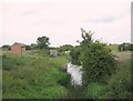
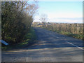
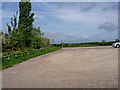
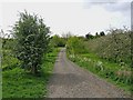
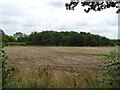
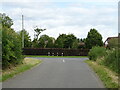

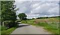
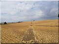
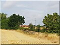
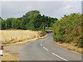
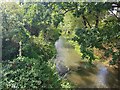
31 photos from this area
Area Information
Key information about the WR10 2AD including its size, population, and administrative classification.
- Area Type
- Postcode
- Area Size
- 1.7 km²
- Population
- 1480
- Population Density
- 57 people/km²
House Prices in WR10 2AD
24
Properties
£560,910
Average Sold Price
£288,371
Lowest Price
£880,000
Highest Price
Showing 24 properties
| Address | Type | Beds | Baths | Last Sale Price | Last Sale Date | |
|---|---|---|---|---|---|---|
| Stocken Barn, Besford Bridge, Besford, WR10 2AD | Semi-detached | 4 | 2 | £800,000 | Mar 2025 | |
| Rose Cottage, Besford Bridge, Besford, WR10 2AD | house | - | - | £880,000 | Nov 2023 | |
| The Stables, Besford Bridge, Besford, WR10 2AD | house | 6 | - | £590,000 | Jun 2017 | |
| Stocken House, Besford Bridge, Besford, WR10 2AD | Detached | 4 | - | £455,000 | Aug 2016 | |
| Ramsden House, Besford Bridge, Besford, WR10 2AD | Detached | - | - | £375,000 | Mar 2009 | |
| The Bramblings, Besford Bridge, Besford, WR10 2AD | Detached | - | - | £538,000 | Aug 2005 | |
| Orchard House, Besford Bridge, Besford, WR10 2AD | house | - | - | £288,371 | Jan 2000 | |
| Besford Bridge House, Besford Bridge, Besford, WR10 2AD | Detached | 5 | 4 | - | - | |
| Caravan At, Stocken Barn, Besford Bridge, Besford, WR10 2AD | Mobile Home | - | - | - | - | |
| The Mobile Home, Rose Cottage, Besford Bridge, Besford, WR10 2AD | Mobile Home | - | - | - | - |
Page 1 of 3
Energy Efficiency in WR10 2AD
Amenities
Schools
| Rank | School | Type | Entry gender | Ages |
|---|
Explore more schools in this area
Go to Schools tabDemographics
Household Size
Two person
most common
Accommodation Type
Houses
most common
Tenure
79
majority
Ethnic Group
White
most common
Religion
N/A
most common
Household Composition
N/A
most common
Age
47
median
Adults (30-64 years)
most common
Household Deprivation
N/A
with no deprivation
NS-SEC
43
in Lower managerial occupations
Explore more demographic insights in this area
Go to Demographics tabPlanning
Planning Constraints
- Flood RiskPremium
- Ramsar Wetland SitesPremium
- Area of Outstanding Natural BeautyPremium
- Protected Nature ReservePremium
- Protected WoodlandPremium