Area Overview for WR1 3NL
Photos of WR1 3NL
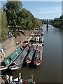
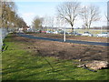
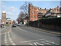
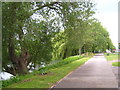
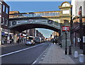
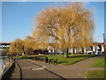
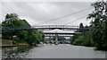
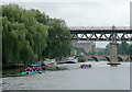
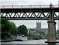
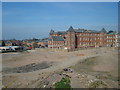
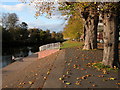
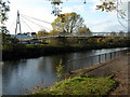
100 photos from this area
Area Information
Key information about the WR1 3NL including its size, population, and administrative classification.
- Area Type
- Postcode
- Area Size
- 3004 m²
- Population
- 1263
- Population Density
- 1499 people/km²
House Prices in WR1 3NL
30
Properties
£142,519
Average Sold Price
£46,000
Lowest Price
£252,000
Highest Price
Showing 30 properties
| Address | Type | Beds | Baths | Last Sale Price | Last Sale Date | |
|---|---|---|---|---|---|---|
| 4 King Edmunds Square, Worcester, WR1 3NL | Flat | 1 | 1 | £160,000 | Dec 2024 | |
| 8 King Edmunds Square, Worcester, WR1 3NL | Maisonette | 2 | - | £170,000 | May 2024 | |
| 1 King Edmunds Square, Worcester, WR1 3NL | Maisonette | - | - | £157,000 | Oct 2023 | |
| 14 King Edmunds Square, Worcester, WR1 3NL | Flat | - | - | £145,000 | Jun 2023 | |
| 16 King Edmunds Square, Worcester, WR1 3NL | Flat | 2 | 1 | £155,000 | Jun 2023 | |
| 2 King Edmunds Square, Worcester, WR1 3NL | Flat | 2 | 1 | £155,000 | Sep 2022 | |
| 18 King Edmunds Square, Worcester, WR1 3NL | Semi-detached | 2 | - | £252,000 | Aug 2022 | |
| 11A King Edmunds Square, Worcester, WR1 3NL | Flat | - | - | £145,000 | Mar 2022 | |
| 10 King Edmunds Square, Worcester, WR1 3NL | Maisonette | - | - | £138,000 | Sep 2021 | |
| 17 King Edmunds Square, Worcester, WR1 3NL | Semi-detached | 3 | - | £179,850 | Aug 2019 |
Page 1 of 3
Energy Efficiency in WR1 3NL
Amenities
Schools
| Rank | School | Type | Entry gender | Ages |
|---|
Explore more schools in this area
Go to Schools tabDemographics
Household Size
One person
most common
Accommodation Type
Flats
most common
Tenure
48
majority
Ethnic Group
White
most common
Religion
N/A
most common
Household Composition
N/A
most common
Age
47
median
Adults (30-64 years)
most common
Household Deprivation
N/A
with no deprivation
NS-SEC
40
in Lower managerial occupations
Explore more demographic insights in this area
Go to Demographics tabPlanning
Planning Constraints
- Flood RiskPremium
- Ramsar Wetland SitesPremium
- Area of Outstanding Natural BeautyPremium
- Protected Nature ReservePremium
- Protected WoodlandPremium