Area Overview for WR1 2NS
Photos of WR1 2NS
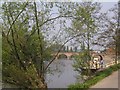
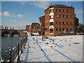
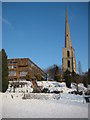
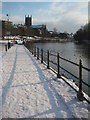
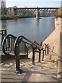
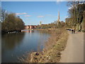
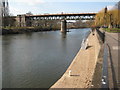
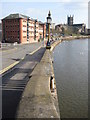
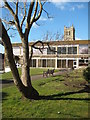
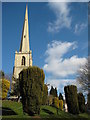
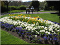
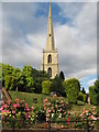
100 photos from this area
Area Information
Key information about the WR1 2NS including its size, population, and administrative classification.
- Area Type
- Postcode
- Area Size
- 8500 m²
- Population
- 1712
- Population Density
- 8652 people/km²
House Prices in WR1 2NS
23
Properties
£201,022
Average Sold Price
£54,950
Lowest Price
£320,000
Highest Price
Showing 23 properties
| Address | Type | Beds | Baths | Last Sale Price | Last Sale Date | |
|---|---|---|---|---|---|---|
| 2 Diglis Avenue, Worcester, WR1 2NS | Terraced | 3 | 1 | £235,000 | Apr 2025 | |
| 4 Diglis Avenue, Worcester, WR1 2NS | Terraced | 2 | 1 | £243,000 | Nov 2023 | |
| 20 Diglis Avenue, Worcester, WR1 2NS | Terraced | 3 | 2 | £252,500 | Aug 2023 | |
| 15 Diglis Avenue, Worcester, WR1 2NS | Terraced | 3 | - | £242,500 | Jul 2021 | |
| 7 Diglis Avenue, Worcester, WR1 2NS | Terraced | 3 | - | £275,000 | Sep 2020 | |
| 12 Diglis Avenue, Worcester, WR1 2NS | house | - | - | £320,000 | Jul 2018 | |
| 11 Diglis Avenue, Worcester, WR1 2NS | Terraced | 3 | 1 | £223,500 | Apr 2018 | |
| 21 Diglis Avenue, Worcester, WR1 2NS | house | - | - | £225,000 | Dec 2017 | |
| 17 Diglis Avenue, Worcester, WR1 2NS | house | - | - | £210,000 | May 2017 | |
| 8 Diglis Avenue, Worcester, WR1 2NS | Terraced | 3 | - | £160,000 | Aug 2015 |
Page 1 of 3
Energy Efficiency in WR1 2NS
Amenities
Schools
| Rank | School | Type | Entry gender | Ages |
|---|
Explore more schools in this area
Go to Schools tabDemographics
Household Size
One person
most common
Accommodation Type
Flats
most common
Tenure
51
majority
Ethnic Group
White
most common
Religion
N/A
most common
Household Composition
N/A
most common
Age
47
median
Adults (30-64 years)
most common
Household Deprivation
N/A
with no deprivation
NS-SEC
45
in Lower managerial occupations
Explore more demographic insights in this area
Go to Demographics tabPlanning
Planning Constraints
- Flood RiskPremium
- Ramsar Wetland SitesPremium
- Area of Outstanding Natural BeautyPremium
- Protected Nature ReservePremium
- Protected WoodlandPremium