Area Overview for WR1 1ST
Photos of WR1 1ST
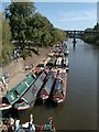
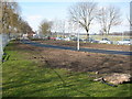
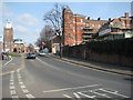
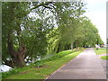
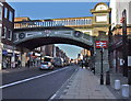
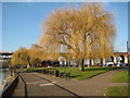
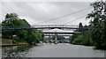

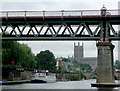
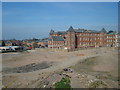
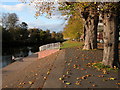
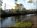
100 photos from this area
Area Information
Key information about the WR1 1ST including its size, population, and administrative classification.
- Area Type
- Postcode
- Area Size
- 1.5 hectares
- Population
- 1782
- Population Density
- 5793 people/km²
House Prices in WR1 1ST
26
Properties
£104,595
Average Sold Price
£44,000
Lowest Price
£147,500
Highest Price
Showing 26 properties
| Address | Type | Beds | Baths | Last Sale Price | Last Sale Date | |
|---|---|---|---|---|---|---|
| 9, Lansdowne Court, Lansdowne Road, Worcester, WR1 1ST | Flat | - | - | £147,500 | Jul 2023 | |
| 10, Lansdowne Court, Lansdowne Road, Worcester, WR1 1ST | Flat | - | - | £147,500 | Jun 2022 | |
| 7, Lansdowne Court, Lansdowne Road, Worcester, WR1 1ST | Flat | - | - | £120,000 | Aug 2020 | |
| 11, Lansdowne Court, Lansdowne Road, Worcester, WR1 1ST | Flat | 2 | 2 | £120,000 | Aug 2019 | |
| 6, Lansdowne Court, Lansdowne Road, Worcester, WR1 1ST | Flat | - | - | £115,000 | Jan 2017 | |
| 12, Lansdowne Court, Lansdowne Road, Worcester, WR1 1ST | Flat | - | - | £95,000 | Jun 2011 | |
| 15 Lansdowne Road, Worcester, WR1 1ST | Terraced | 3 | 1 | £44,000 | Jul 2008 | |
| 2, Lansdowne Court, Lansdowne Road, Worcester, WR1 1ST | Flat | - | - | £99,950 | Jan 2008 | |
| 3, Lansdowne Court, Lansdowne Road, Worcester, WR1 1ST | Flat | - | - | £102,000 | Feb 2004 | |
| 4, Lansdowne Court, Lansdowne Road, Worcester, WR1 1ST | Flat | - | - | £55,000 | Jan 2001 |
Page 1 of 3
Energy Efficiency in WR1 1ST
Amenities
Schools
| Rank | School | Type | Entry gender | Ages |
|---|
Explore more schools in this area
Go to Schools tabDemographics
Household Size
One person
most common
Accommodation Type
Flats
most common
Tenure
35
majority
Ethnic Group
White
most common
Religion
N/A
most common
Household Composition
N/A
most common
Age
47
median
Adults (30-64 years)
most common
Household Deprivation
N/A
with no deprivation
NS-SEC
30
in Lower managerial occupations
Explore more demographic insights in this area
Go to Demographics tabPlanning
Planning Constraints
- Flood RiskPremium
- Ramsar Wetland SitesPremium
- Area of Outstanding Natural BeautyPremium
- Protected Nature ReservePremium
- Protected WoodlandPremium