Area Overview for WR1 1NP
Photos of WR1 1NP
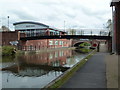
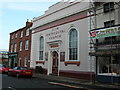
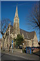
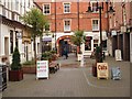
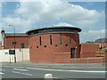
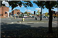
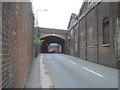
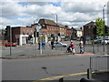
100 photos from this area
Area Information
Key information about the WR1 1NP including its size, population, and administrative classification.
- Area Type
- Postcode
- Area Size
- 1.3 hectares
- Population
- 1782
- Population Density
- 5793 people/km²
House Prices in WR1 1NP
51
Properties
£143,409
Average Sold Price
£36,000
Lowest Price
£253,500
Highest Price
Showing 51 properties
| Address | Type | Beds | Baths | Last Sale Price | Last Sale Date | |
|---|---|---|---|---|---|---|
| 9 Lowell Street, Worcester, WR1 1NP | Terraced | 3 | 1 | £180,000 | Dec 2025 | |
| 18 Lowell Street, Worcester, WR1 1NP | Terraced | 3 | 1 | £215,500 | May 2025 | |
| 39 Lowell Street, Worcester, WR1 1NP | Terraced | 2 | 1 | £144,000 | Mar 2025 | |
| 8 Lowell Street, Worcester, WR1 1NP | Terraced | 3 | 1 | £220,000 | Jun 2024 | |
| 41 Lowell Street, Worcester, WR1 1NP | Terraced | 2 | 2 | £205,000 | Apr 2024 | |
| 12 Lowell Street, Worcester, WR1 1NP | Terraced | 2 | 1 | £155,500 | Apr 2023 | |
| 17 Lowell Street, Worcester, WR1 1NP | Terraced | 3 | 2 | £253,500 | Dec 2022 | |
| 13 Lowell Street, Worcester, WR1 1NP | house | - | - | £232,000 | Oct 2022 | |
| 40 Lowell Street, Worcester, WR1 1NP | Terraced | 2 | 1 | £195,000 | Apr 2022 | |
| 23 Lowell Street, Worcester, WR1 1NP | Terraced | 3 | 1 | £233,000 | Feb 2022 |
Page 1 of 6
Energy Efficiency in WR1 1NP
Amenities
Schools
| Rank | School | Type | Entry gender | Ages |
|---|
Explore more schools in this area
Go to Schools tabDemographics
Household Size
One person
most common
Accommodation Type
Flats
most common
Tenure
35
majority
Ethnic Group
White
most common
Religion
N/A
most common
Household Composition
N/A
most common
Age
47
median
Adults (30-64 years)
most common
Household Deprivation
N/A
with no deprivation
NS-SEC
30
in Lower managerial occupations
Explore more demographic insights in this area
Go to Demographics tabPlanning
Planning Constraints
- Flood RiskPremium
- Ramsar Wetland SitesPremium
- Area of Outstanding Natural BeautyPremium
- Protected Nature ReservePremium
- Protected WoodlandPremium