Area Overview for Tutnall and Cobley
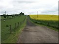
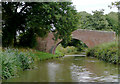
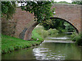
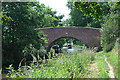
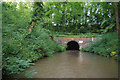
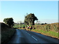
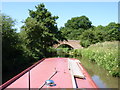
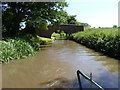
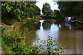
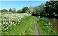
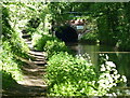
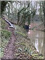
Photos of Tutnall and Cobley
Area Information
Tutnall and Cobley stands as a distinct civil parish within the Bromsgrove district of Worcestershire, covering an area of 17.3 km². The locality holds a unique historical identity as a former hamlet within Tardebigge parish, which also functioned as an exclave of Warwickshire ceded to Worcestershire under the Counties (Detached Parts) Act 1844. Residents today navigate a landscape shaped by over a century of local development, though specific current population figures are not detailed in available records. The area's character is defined by significant heritage sites, including Hewell Grange, a Grade II* listed open prison originally constructed between 1884 and 1891 for Lord and Lady Windsor. Thomas Garner designed this imposing structure, which now presents a stark contrast to the residential needs of a modern community. Nearby, the Tardebigge Engine House at Tylers Lock remains a visible reminder of the area's industrial canal heritage, standing as a derelict building associated with local transport history. Living in Tutnall and Cobley means engaging with an environment where architectural grandeur coexists with quiet rural spacing, offering a setting that balances historical significance with contemporary regional life.
- Area Type
- Parish
- Area Size
- 17.3 km²
- Population
- Not available
- Population Density
- Not available
Demographics
The community residing in Tutnall and Cobley presents a notably older demographic profile, with a median age of 70. This statistic indicates that the neighbourhood is largely populated by established residents rather than young families or transient populations seeking dynamic social hubs. A high proportion of the local population falls into older age brackets, reflecting a settlement pattern typical of villages with limited new housing construction targeting younger age groups. Regarding housing tenure, 79 percent of homes are owner-occupied, suggesting deep-rooted communities where individuals have built long-term ties to their properties. The remaining 21 percent likely consists of tenants, though specific breakdowns by household composition or accommodation type are not specified in the current data. With only 20 percent of homes rented, the area functions primarily as a location for those who have purchased properties and intend to remain. This ownership structure supports a stable environment, yet the age skew implies residents may face specific challenges accessing local services if provision is not tailored to senior needs. The homogeneity in tenure and age creates a distinct social rhythm different from many urban or rapidly growing suburban parishes in the West Midlands.
Household Size
Accommodation Type
Tenure
Ethnic Group
Religion
Household Composition
Age
Household Deprivation
NS-SEC
Explore more demographic insights in this area
Go to Demographics tabPlanning
Planning Constraints
- Flood RiskPremium
- Ramsar Wetland SitesPremium
- Area of Outstanding Natural BeautyPremium
- Protected Nature ReservePremium
- Protected WoodlandPremium
- Crime RiskPremium