Area Overview for TF9 3EH
Photos of TF9 3EH
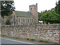
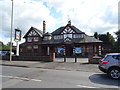
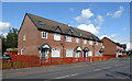
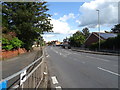
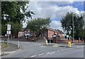
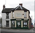
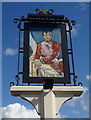
7 photos from this area
Area Information
Key information about the TF9 3EH including its size, population, and administrative classification.
- Area Type
- Postcode
- Area Size
- 4650 m²
- Population
- 1548
- Population Density
- 4568 people/km²
House Prices in TF9 3EH
5
Properties
£85,000
Average Sold Price
£60,000
Lowest Price
£117,000
Highest Price
Showing 5 properties
| Address | Type | Beds | Baths | Last Sale Price | Last Sale Date | |
|---|---|---|---|---|---|---|
| Jarene, 195 Shrewsbury Road, Market Drayton, TF9 3EH | Semi-detached | 3 | 3 | £117,000 | Sep 2001 | |
| 199 Shrewsbury Road, Market Drayton, TF9 3EH | Semi-detached | 3 | 3 | £78,000 | May 1999 | |
| 197 Shrewsbury Road, Market Drayton, TF9 3EH | Semi-detached | - | - | £60,000 | Sep 1997 | |
| The Flat, A T S, Shrewsbury Road, Market Drayton, TF9 3EH | Flat | - | - | - | - | |
| Living Accommodation, Kings Head, 205 Shrewsbury Road, Market Drayton, TF9 3EH | Flat | - | - | - | - |
Energy Efficiency in TF9 3EH
Amenities
Schools
| Rank | School | Type | Entry gender | Ages |
|---|
Explore more schools in this area
Go to Schools tabDemographics
Household Size
Two person
most common
Accommodation Type
Houses
most common
Tenure
59
majority
Ethnic Group
White
most common
Religion
N/A
most common
Household Composition
N/A
most common
Age
47
median
Adults (30-64 years)
most common
Household Deprivation
N/A
with no deprivation
NS-SEC
19
in Lower managerial occupations
Explore more demographic insights in this area
Go to Demographics tabPlanning
Planning Constraints
- Flood RiskPremium
- Ramsar Wetland SitesPremium
- Area of Outstanding Natural BeautyPremium
- Protected Nature ReservePremium
- Protected WoodlandPremium