Area Overview for TF7 5UJ
Photos of TF7 5UJ
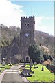
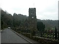
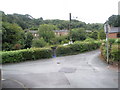
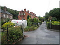
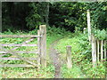
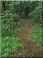
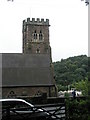
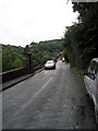
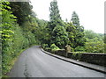
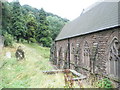
78 photos from this area
Area Information
Key information about the TF7 5UJ including its size, population, and administrative classification.
- Area Type
- Postcode
- Area Size
- 8.1 hectares
- Population
- 1639
- Population Density
- 3701 people/km²
House Prices in TF7 5UJ
81
Properties
£143,071
Average Sold Price
£65,950
Lowest Price
£330,000
Highest Price
Showing 81 properties
| Address | Type | Beds | Baths | Last Sale Price | Last Sale Date | |
|---|---|---|---|---|---|---|
| 68 The Saplings, Woodside, Telford, TF7 5UJ | Terraced | 4 | 3 | £225,000 | Nov 2024 | |
| 36 The Saplings, Woodside, Telford, TF7 5UJ | Terraced | 3 | 2 | £190,000 | Nov 2024 | |
| 81 The Saplings, Woodside, Telford, TF7 5UJ | Flat | 1 | 1 | £115,000 | Sep 2024 | |
| 15 The Saplings, Woodside, Telford, TF7 5UJ | Terraced | 4 | 3 | £208,000 | Jul 2024 | |
| 78 The Saplings, Woodside, Telford, TF7 5UJ | Flat | 1 | 1 | £110,000 | Jan 2024 | |
| 28 The Saplings, Woodside, Telford, TF7 5UJ | Terraced | 4 | 3 | £210,000 | Nov 2023 | |
| 35 The Saplings, Woodside, Telford, TF7 5UJ | house | 3 | - | £167,500 | Sep 2023 | |
| 73 The Saplings, Woodside, Telford, TF7 5UJ | Flat | - | - | £90,000 | Jul 2023 | |
| 80 The Saplings, Woodside, Telford, TF7 5UJ | Detached | 1 | 1 | £125,000 | Dec 2022 | |
| 32 The Saplings, Woodside, Telford, TF7 5UJ | Retail | 4 | 3 | £195,000 | Sep 2022 |
Page 1 of 9
Energy Efficiency in TF7 5UJ
Amenities
Schools
| Rank | School | Type | Entry gender | Ages |
|---|
Explore more schools in this area
Go to Schools tabDemographics
Household Size
Family (3-5 people)
most common
Accommodation Type
Houses
most common
Tenure
42
majority
Ethnic Group
White
most common
Religion
N/A
most common
Household Composition
N/A
most common
Age
47
median
Adults (30-64 years)
most common
Household Deprivation
N/A
with no deprivation
NS-SEC
18
in Lower managerial occupations
Explore more demographic insights in this area
Go to Demographics tabPlanning
Planning Constraints
- Flood RiskPremium
- Ramsar Wetland SitesPremium
- Area of Outstanding Natural BeautyPremium
- Protected Nature ReservePremium
- Protected WoodlandPremium