Area Overview for TF7 5PR
Photos of TF7 5PR

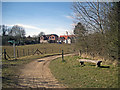
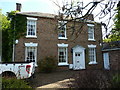

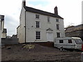

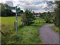
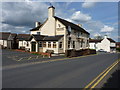
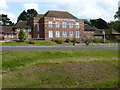
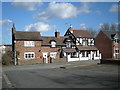
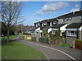

17 photos from this area
Area Information
Key information about the TF7 5PR including its size, population, and administrative classification.
- Area Type
- Postcode
- Area Size
- 1.2 hectares
- Population
- 1423
- Population Density
- 4066 people/km²
House Prices in TF7 5PR
49
Properties
£60,830
Average Sold Price
£3,000
Lowest Price
£130,000
Highest Price
Showing 49 properties
| Address | Type | Beds | Baths | Last Sale Price | Last Sale Date | |
|---|---|---|---|---|---|---|
| 129 Wildwood, Woodside, Telford, TF7 5PR | house | - | - | £130,000 | Nov 2025 | |
| 128 Wildwood, Woodside, Telford, TF7 5PR | Terraced | 4 | 1 | £105,000 | Jul 2023 | |
| 148 Wildwood, Woodside, Telford, TF7 5PR | house | - | - | £83,500 | Nov 2022 | |
| 168 Wildwood, Woodside, Telford, TF7 5PR | Terraced | 4 | 1 | £100,000 | Jan 2022 | |
| 150 Wildwood, Woodside, Telford, TF7 5PR | Terraced | 4 | 1 | £115,000 | May 2021 | |
| 139 Wildwood, Woodside, Telford, TF7 5PR | house | - | - | £3,000 | Jan 2019 | |
| 163 Wildwood, Woodside, Telford, TF7 5PR | house | - | - | £78,000 | May 2018 | |
| 126 Wildwood, Woodside, Telford, TF7 5PR | Terraced | 4 | 2 | £74,000 | Jul 2016 | |
| 130 Wildwood, Woodside, Telford, TF7 5PR | house | 4 | - | £77,500 | May 2016 | |
| 135 Wildwood, Woodside, Telford, TF7 5PR | house | - | - | £73,000 | Apr 2015 |
Page 1 of 5
Energy Efficiency in TF7 5PR
Amenities
Schools
| Rank | School | Type | Entry gender | Ages |
|---|
Explore more schools in this area
Go to Schools tabDemographics
Household Size
Family (3-5 people)
most common
Accommodation Type
Houses
most common
Tenure
29
majority
Ethnic Group
White
most common
Religion
N/A
most common
Household Composition
N/A
most common
Age
47
median
Adults (30-64 years)
most common
Household Deprivation
N/A
with no deprivation
NS-SEC
13
in Lower managerial occupations
Explore more demographic insights in this area
Go to Demographics tabPlanning
Planning Constraints
- Flood RiskPremium
- Ramsar Wetland SitesPremium
- Area of Outstanding Natural BeautyPremium
- Protected Nature ReservePremium
- Protected WoodlandPremium