Area Overview for TF5 0AL
Photos of TF5 0AL
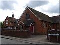
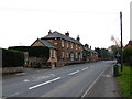
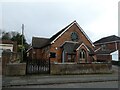
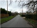
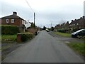
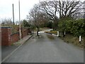
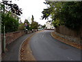
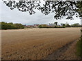
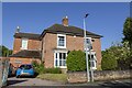

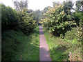
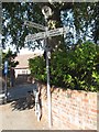
12 photos from this area
Area Information
Key information about the TF5 0AL including its size, population, and administrative classification.
- Area Type
- Postcode
- Area Size
- 3878 m²
- Population
- 1615
- Population Density
- 747 people/km²
House Prices in TF5 0AL
7
Properties
£152,333
Average Sold Price
£100,000
Lowest Price
£223,000
Highest Price
Showing 7 properties
| Address | Type | Beds | Baths | Last Sale Price | Last Sale Date | |
|---|---|---|---|---|---|---|
| 24 Station Road, Admaston, Telford, TF5 0AL | Semi-detached | - | - | £100,000 | Sep 2020 | |
| 26 Station Road, Admaston, Telford, TF5 0AL | Semi-detached | 4 | 1 | £223,000 | Aug 2018 | |
| 12 Station Road, Admaston, Telford, TF5 0AL | Bungalow | 2 | 1 | £143,000 | Oct 2014 | |
| The Haven, 14 Station Road, Admaston, Telford, TF5 0AL | house | 3 | - | £158,000 | Nov 2011 | |
| 16 Station Road, Admaston, Telford, TF5 0AL | Terraced | - | - | £135,000 | Apr 2006 | |
| 18 Station Road, Admaston, Telford, TF5 0AL | house | - | - | £155,000 | Aug 2005 | |
| Olbridge, 20 Station Road, Admaston, Telford, TF5 0AL | house | - | - | - | - |
Energy Efficiency in TF5 0AL
Amenities
Schools
| Rank | School | Type | Entry gender | Ages |
|---|
Explore more schools in this area
Go to Schools tabDemographics
Household Size
Two person
most common
Accommodation Type
Houses
most common
Tenure
85
majority
Ethnic Group
White
most common
Religion
N/A
most common
Household Composition
N/A
most common
Age
47
median
Adults (30-64 years)
most common
Household Deprivation
N/A
with no deprivation
NS-SEC
39
in Lower managerial occupations
Explore more demographic insights in this area
Go to Demographics tabPlanning
Planning Constraints
- Flood RiskPremium
- Ramsar Wetland SitesPremium
- Area of Outstanding Natural BeautyPremium
- Protected Nature ReservePremium
- Protected WoodlandPremium