Area Overview for TF5 0AB
Photos of TF5 0AB
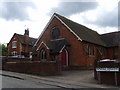
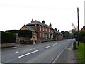
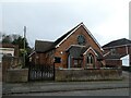
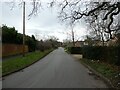
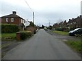
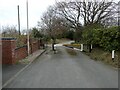
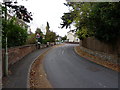
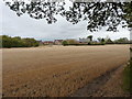
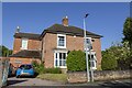
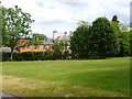
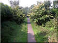
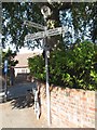
12 photos from this area
Area Information
Key information about the TF5 0AB including its size, population, and administrative classification.
- Area Type
- Postcode
- Area Size
- 3.0 hectares
- Population
- 2753
- Population Density
- 88 people/km²
House Prices in TF5 0AB
11
Properties
£428,857
Average Sold Price
£197,000
Lowest Price
£675,000
Highest Price
Showing 11 properties
| Address | Type | Beds | Baths | Last Sale Price | Last Sale Date | |
|---|---|---|---|---|---|---|
| Chartley, 33 Shawbirch Road, Admaston, Telford, TF5 0AB | Detached | 4 | 2 | £675,000 | Jul 2023 | |
| Brookside, Shawbirch Road, Admaston, Telford, TF5 0AB | house | 4 | 2 | £320,000 | May 2020 | |
| Charnwood, 25 Shawbirch Road, Admaston, Telford, TF5 0AB | house | - | - | £560,000 | Jan 2019 | |
| 39 Shawbirch Road, Admaston, Telford, TF5 0AB | Detached | 4 | 2 | £465,000 | May 2017 | |
| 27 Shawbirch Road, Admaston, Telford, TF5 0AB | Detached | 5 | - | £395,000 | Oct 2014 | |
| 29 Shawbirch Road, Admaston, Telford, TF5 0AB | Detached | 4 | - | £390,000 | Aug 2014 | |
| 28 Shawbirch Road, Admaston, Telford, TF5 0AB | Detached | - | - | £197,000 | Apr 1998 | |
| 31 Shawbirch Road, Admaston, Telford, TF5 0AB | Detached | - | - | - | - | |
| Brookfield, Shawbirch Road, Admaston, Telford, TF5 0AB | Semi-detached | - | - | - | - | |
| 37 Shawbirch Road, Admaston, Telford, TF5 0AB | Detached | - | - | - | - |
Page 1 of 2
Energy Efficiency in TF5 0AB
Amenities
Schools
| Rank | School | Type | Entry gender | Ages |
|---|
Explore more schools in this area
Go to Schools tabDemographics
Household Size
Two person
most common
Accommodation Type
Houses
most common
Tenure
75
majority
Ethnic Group
White
most common
Religion
N/A
most common
Household Composition
N/A
most common
Age
47
median
Adults (30-64 years)
most common
Household Deprivation
N/A
with no deprivation
NS-SEC
43
in Lower managerial occupations
Explore more demographic insights in this area
Go to Demographics tabPlanning
Planning Constraints
- Flood RiskPremium
- Ramsar Wetland SitesPremium
- Area of Outstanding Natural BeautyPremium
- Protected Nature ReservePremium
- Protected WoodlandPremium