Area Overview for TF2 9BB
Photos of TF2 9BB
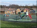
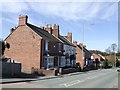
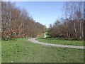
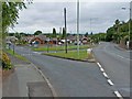
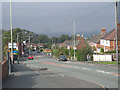
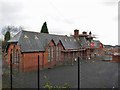

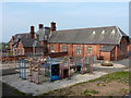
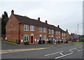
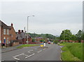
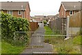
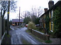
27 photos from this area
Area Information
Key information about the TF2 9BB including its size, population, and administrative classification.
- Area Type
- Postcode
- Area Size
- 4.2 hectares
- Population
- 2251
- Population Density
- 2278 people/km²
House Prices in TF2 9BB
10
Properties
£224,613
Average Sold Price
£180,000
Lowest Price
£275,000
Highest Price
Showing 10 properties
| Address | Type | Beds | Baths | Last Sale Price | Last Sale Date | |
|---|---|---|---|---|---|---|
| Sutherland Cottage, Duke Street, St Georges, Telford, TF2 9BB | Detached | 3 | 2 | £233,500 | Sep 2021 | |
| Ashlea, Duke Street, St Georges, Telford, TF2 9BB | house | - | - | £275,000 | Mar 2020 | |
| Yew Tree Cottage, Duke Street, St Georges, Telford, TF2 9BB | Semi-detached | 2 | 1 | £180,000 | Apr 2019 | |
| Boscobel Cottage, Duke Street, St Georges, Telford, TF2 9BB | Detached | - | - | £209,950 | Dec 2004 | |
| The Bungalow, Duke Street, St Georges, Telford, TF2 9BB | undefined | - | - | - | - | |
| Paddock View, Duke Street, St Georges, Telford, TF2 9BB | Bungalow | - | - | - | - | |
| Lapworth View, Duke Street, St Georges, Telford, TF2 9BB | Detached | - | - | - | - | |
| The Hawthorns, Duke Street, St Georges, Telford, TF2 9BB | house | - | - | - | - | |
| Rose Cottage, Duke Street, St Georges, Telford, TF2 9BB | Detached | - | - | - | - | |
| Sycamore, Duke Street, St Georges, Telford, TF2 9BB | Detached | - | - | - | - |
Energy Efficiency in TF2 9BB
Amenities
Schools
| Rank | School | Type | Entry gender | Ages |
|---|
Explore more schools in this area
Go to Schools tabDemographics
Household Size
Family (3-5 people)
most common
Accommodation Type
Houses
most common
Tenure
61
majority
Ethnic Group
White
most common
Religion
N/A
most common
Household Composition
N/A
most common
Age
47
median
Adults (30-64 years)
most common
Household Deprivation
N/A
with no deprivation
NS-SEC
40
in Lower managerial occupations
Explore more demographic insights in this area
Go to Demographics tabPlanning
Planning Constraints
- Flood RiskPremium
- Ramsar Wetland SitesPremium
- Area of Outstanding Natural BeautyPremium
- Protected Nature ReservePremium
- Protected WoodlandPremium