Area Overview for TF2 5AD
Photos of TF2 5AD
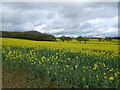
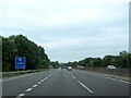
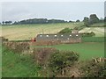
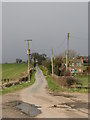
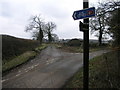
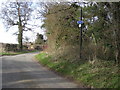
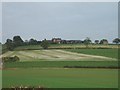
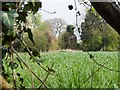
20 photos from this area
Area Information
Key information about the TF2 5AD including its size, population, and administrative classification.
- Area Type
- Postcode
- Area Size
- 13.9 hectares
- Population
- 1521
- Population Density
- 43 people/km²
House Prices in TF2 5AD
45
Properties
£295,487
Average Sold Price
£256,500
Lowest Price
£370,000
Highest Price
Showing 45 properties
| Address | Type | Beds | Baths | Last Sale Price | Last Sale Date | |
|---|---|---|---|---|---|---|
| 69 John Rushton Drive, Priorslee, Telford, TF2 5AD | house | - | - | £275,453 | Mar 2024 | |
| 67 John Rushton Drive, Priorslee, Telford, TF2 5AD | house | - | - | £320,000 | Mar 2024 | |
| 71 John Rushton Drive, Priorslee, Telford, TF2 5AD | house | - | - | £277,400 | Mar 2024 | |
| 73 John Rushton Drive, Priorslee, Telford, TF2 5AD | house | - | - | £319,200 | Feb 2024 | |
| 45 John Rushton Drive, Priorslee, Telford, TF2 5AD | Detached | 3 | 2 | £310,000 | Jun 2023 | |
| 61 John Rushton Drive, Priorslee, Telford, TF2 5AD | house | - | - | £261,250 | Jun 2023 | |
| 63 John Rushton Drive, Priorslee, Telford, TF2 5AD | house | - | - | £275,500 | May 2023 | |
| 59 John Rushton Drive, Priorslee, Telford, TF2 5AD | house | - | - | £320,000 | May 2023 | |
| 65 John Rushton Drive, Priorslee, Telford, TF2 5AD | house | - | - | £370,000 | Apr 2023 | |
| 41 John Rushton Drive, Priorslee, Telford, TF2 5AD | house | - | - | £319,000 | Mar 2023 |
Page 1 of 5
Energy Efficiency in TF2 5AD
Amenities
Schools
| Rank | School | Type | Entry gender | Ages |
|---|
Explore more schools in this area
Go to Schools tabDemographics
Household Size
Family (3-5 people)
most common
Accommodation Type
Houses
most common
Tenure
76
majority
Ethnic Group
White
most common
Religion
N/A
most common
Household Composition
N/A
most common
Age
47
median
Adults (30-64 years)
most common
Household Deprivation
N/A
with no deprivation
NS-SEC
48
in Lower managerial occupations
Explore more demographic insights in this area
Go to Demographics tabPlanning
Planning Constraints
- Flood RiskPremium
- Ramsar Wetland SitesPremium
- Area of Outstanding Natural BeautyPremium
- Protected Nature ReservePremium
- Protected WoodlandPremium