Area Overview for TF2 0AN
Photos of TF2 0AN
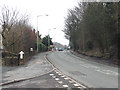
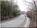
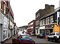
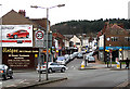
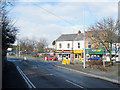
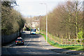
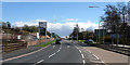

100 photos from this area
Area Information
Key information about the TF2 0AN including its size, population, and administrative classification.
- Area Type
- Postcode
- Area Size
- 5616 m²
- Population
- 1407
- Population Density
- 1617 people/km²
House Prices in TF2 0AN
12
Properties
£111,700
Average Sold Price
£32,500
Lowest Price
£177,000
Highest Price
Showing 12 properties
| Address | Type | Beds | Baths | Last Sale Price | Last Sale Date | |
|---|---|---|---|---|---|---|
| 28 Second Avenue, Ketley Bank, Telford, TF2 0AN | Semi-detached | 3 | 1 | £177,000 | Aug 2023 | |
| 37 Second Avenue, Ketley Bank, Telford, TF2 0AN | Retail | 3 | 1 | £155,000 | Nov 2022 | |
| 26 Second Avenue, Ketley Bank, Telford, TF2 0AN | house | - | - | £96,000 | Mar 2021 | |
| 43 Second Avenue, Ketley Bank, Telford, TF2 0AN | house | - | - | £98,000 | Dec 2007 | |
| 35 Second Avenue, Ketley Bank, Telford, TF2 0AN | Semi-detached | - | - | £32,500 | Nov 1996 | |
| 33 Second Avenue, Ketley Bank, Telford, TF2 0AN | Semi-detached | 3 | 1 | - | - | |
| 22 Second Avenue, Ketley Bank, Telford, TF2 0AN | Semi-detached | 3 | 1 | - | - | |
| 39 Second Avenue, Ketley Bank, Telford, TF2 0AN | Semi-detached | 3 | - | - | - | |
| 31 Second Avenue, Ketley Bank, Telford, TF2 0AN | house | - | - | - | - | |
| 41 Second Avenue, Ketley Bank, Telford, TF2 0AN | house | - | - | - | - |
Page 1 of 2
Energy Efficiency in TF2 0AN
Amenities
Schools
| Rank | School | Type | Entry gender | Ages |
|---|
Explore more schools in this area
Go to Schools tabDemographics
Household Size
Two person
most common
Accommodation Type
Houses
most common
Tenure
45
majority
Ethnic Group
White
most common
Religion
N/A
most common
Household Composition
N/A
most common
Age
47
median
Adults (30-64 years)
most common
Household Deprivation
N/A
with no deprivation
NS-SEC
19
in Lower managerial occupations
Explore more demographic insights in this area
Go to Demographics tabPlanning
Planning Constraints
- Flood RiskPremium
- Ramsar Wetland SitesPremium
- Area of Outstanding Natural BeautyPremium
- Protected Nature ReservePremium
- Protected WoodlandPremium