Area Overview for SY8 2DG
Photos of SY8 2DG
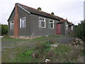
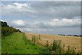
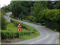
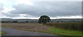
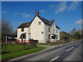
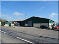
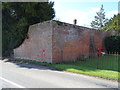
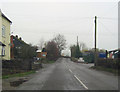
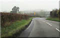
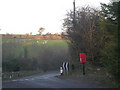
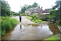
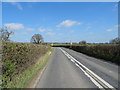
21 photos from this area
Area Information
Key information about the SY8 2DG including its size, population, and administrative classification.
- Area Type
- Postcode
- Area Size
- 70.3 hectares
- Population
- 2354
- Population Density
- 16 people/km²
House Prices in SY8 2DG
15
Properties
£211,800
Average Sold Price
£25,000
Lowest Price
£385,000
Highest Price
Showing 15 properties
| Address | Type | Beds | Baths | Last Sale Price | Last Sale Date | |
|---|---|---|---|---|---|---|
| 4 Seifton Lane, Seifton, SY8 2DG | Semi-detached | 2 | 1 | £262,500 | Mar 2025 | |
| Seifton Court, Seifton Lane, Seifton, SY8 2DG | house | 4 | - | £25,000 | Jun 2023 | |
| 1 Seifton Lane, Seifton, SY8 2DG | house | - | - | £300,000 | Nov 2022 | |
| The Cornmill, Seifton Lane, Seifton, SY8 2DG | house | - | - | £385,000 | Nov 2017 | |
| 2 Seifton Lane, Seifton, SY8 2DG | Semi-detached | - | - | £86,500 | Sep 1998 | |
| The Cowshed, Seifton Lane, Seifton, SY8 2DG | Detached | - | - | - | - | |
| Pump House South Of 3, Seifton Lane, Seifton, SY8 2DG | Industrial | - | - | - | - | |
| The Dairy, Seifton Court Barn, Seifton Lane, Seifton, SY8 2DG | Terraced | - | - | - | - | |
| 3 Seifton Lane, Seifton, SY8 2DG | house | - | - | - | - | |
| Pool Cottage, Seifton Lane, Seifton, SY8 2DG | house | - | - | - | - |
Page 1 of 2
Energy Efficiency in SY8 2DG
Amenities
Schools
| Rank | School | Type | Entry gender | Ages |
|---|
Explore more schools in this area
Go to Schools tabDemographics
Household Size
Two person
most common
Accommodation Type
Houses
most common
Tenure
65
majority
Ethnic Group
White
most common
Religion
N/A
most common
Household Composition
N/A
most common
Age
47
median
Adults (30-64 years)
most common
Household Deprivation
N/A
with no deprivation
NS-SEC
37
in Lower managerial occupations
Explore more demographic insights in this area
Go to Demographics tabPlanning
Planning Constraints
- Flood RiskPremium
- Ramsar Wetland SitesPremium
- Area of Outstanding Natural BeautyPremium
- Protected Nature ReservePremium
- Protected WoodlandPremium