Area Overview for SY8 1RG
Photos of SY8 1RG
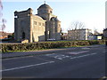
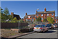

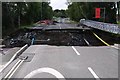
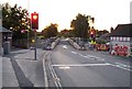
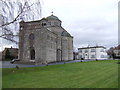
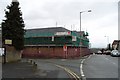
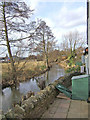
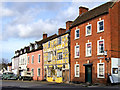
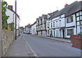
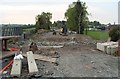
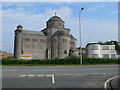
100 photos from this area
Area Information
Key information about the SY8 1RG including its size, population, and administrative classification.
- Area Type
- Postcode
- Area Size
- 2.0 hectares
- Population
- 1521
- Population Density
- 3589 people/km²
House Prices in SY8 1RG
55
Properties
£275,167
Average Sold Price
£175,500
Lowest Price
£350,000
Highest Price
Showing 55 properties
| Address | Type | Beds | Baths | Last Sale Price | Last Sale Date | |
|---|---|---|---|---|---|---|
| Glenroy, White Friars, Ludlow, SY8 1RG | Detached | 3 | 1 | £350,000 | Jul 2022 | |
| New House, White Friars, Ludlow, SY8 1RG | house | - | - | £300,000 | Jul 2022 | |
| Amberdene, White Friars, Ludlow, SY8 1RG | house | 4 | - | £175,500 | Aug 2011 | |
| Store, White Friars, Ludlow, SY8 1RG | warehouse | - | - | - | - | |
| Plot 3 Development Land South Of Daycroft, Henley Road, Ludlow, SY8 1RG | Detached | - | - | - | - | |
| 3 White Friars, Ludlow, SY8 1RG | Bungalow | - | - | - | - | |
| 4 White Friars, Ludlow, SY8 1RG | Bungalow | - | - | - | - | |
| 24 White Friars, Ludlow, SY8 1RG | Terraced | - | - | - | - | |
| 20 White Friars, Ludlow, SY8 1RG | Bungalow | - | - | - | - | |
| 22 White Friars, Ludlow, SY8 1RG | Terraced | - | - | - | - |
Page 1 of 6
Energy Efficiency in SY8 1RG
Amenities
Schools
| Rank | School | Type | Entry gender | Ages |
|---|
Explore more schools in this area
Go to Schools tabDemographics
Household Size
One person
most common
Accommodation Type
Houses
most common
Tenure
69
majority
Ethnic Group
White
most common
Religion
N/A
most common
Household Composition
N/A
most common
Age
47
median
Elderly (65+ years)
most common
Household Deprivation
N/A
with no deprivation
NS-SEC
31
in Lower managerial occupations
Explore more demographic insights in this area
Go to Demographics tabPlanning
Planning Constraints
- Flood RiskPremium
- Ramsar Wetland SitesPremium
- Area of Outstanding Natural BeautyPremium
- Protected Nature ReservePremium
- Protected WoodlandPremium