Area Overview for SY8 1RB
Photos of SY8 1RB
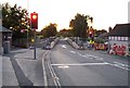
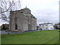
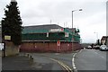
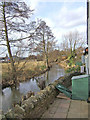
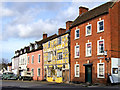
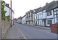
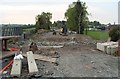
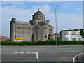
100 photos from this area
Area Information
Key information about the SY8 1RB including its size, population, and administrative classification.
- Area Type
- Postcode
- Area Size
- 1.3 hectares
- Population
- 1521
- Population Density
- 3589 people/km²
House Prices in SY8 1RB
26
Properties
£189,107
Average Sold Price
£98,500
Lowest Price
£272,500
Highest Price
Showing 26 properties
| Address | Type | Beds | Baths | Last Sale Price | Last Sale Date | |
|---|---|---|---|---|---|---|
| 12 Hillside, Ludlow, SY8 1RB | Bungalow | 2 | 1 | £245,000 | Oct 2025 | |
| 8 Hillside, Ludlow, SY8 1RB | Bungalow | - | - | £272,500 | Sep 2024 | |
| 14 Hillside, Ludlow, SY8 1RB | Bungalow | - | - | £217,050 | Jun 2023 | |
| 7 Hillside, Ludlow, SY8 1RB | Semi-detached | 2 | - | £236,375 | Nov 2021 | |
| 4 Hillside, Ludlow, SY8 1RB | Bungalow | - | - | £205,000 | Sep 2021 | |
| 3 Hillside, Ludlow, SY8 1RB | Bungalow | - | - | £143,000 | Nov 2018 | |
| 23 Hillside, Ludlow, SY8 1RB | house | - | - | £157,000 | May 2018 | |
| Castlewood, 20 Hillside, Ludlow, SY8 1RB | Bungalow | - | - | £186,000 | Apr 2014 | |
| 5 Hillside, Ludlow, SY8 1RB | Bungalow | - | - | £161,000 | Feb 2014 | |
| 11 Hillside, Ludlow, SY8 1RB | Bungalow | 3 | - | £158,750 | Oct 2011 |
Page 1 of 3
Energy Efficiency in SY8 1RB
Amenities
Schools
| Rank | School | Type | Entry gender | Ages |
|---|
Explore more schools in this area
Go to Schools tabDemographics
Household Size
One person
most common
Accommodation Type
Houses
most common
Tenure
69
majority
Ethnic Group
White
most common
Religion
N/A
most common
Household Composition
N/A
most common
Age
47
median
Elderly (65+ years)
most common
Household Deprivation
N/A
with no deprivation
NS-SEC
31
in Lower managerial occupations
Explore more demographic insights in this area
Go to Demographics tabPlanning
Planning Constraints
- Flood RiskPremium
- Ramsar Wetland SitesPremium
- Area of Outstanding Natural BeautyPremium
- Protected Nature ReservePremium
- Protected WoodlandPremium