Area Overview for SY8 1HL
Photos of SY8 1HL
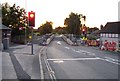
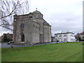
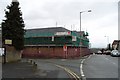
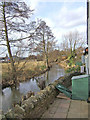
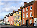
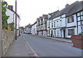
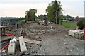
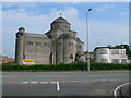
100 photos from this area
Area Information
Key information about the SY8 1HL including its size, population, and administrative classification.
- Area Type
- Postcode
- Area Size
- 8070 m²
- Population
- 1130
- Population Density
- 4126 people/km²
House Prices in SY8 1HL
10
Properties
£184,207
Average Sold Price
£63,250
Lowest Price
£410,000
Highest Price
Showing 10 properties
| Address | Type | Beds | Baths | Last Sale Price | Last Sale Date | |
|---|---|---|---|---|---|---|
| Thistle Dome House, Sandpits Road, Ludlow, SY8 1HL | house | 3 | 2 | £410,000 | Mar 2024 | |
| Treverwin, Sandpits Road, Ludlow, SY8 1HL | house | - | - | £217,500 | Feb 2021 | |
| Winford, Sandpits Road, Ludlow, SY8 1HL | house | - | - | £180,200 | Jan 2015 | |
| Wolverton, Sandpits Road, Ludlow, SY8 1HL | Semi-detached | 3 | 1 | £174,500 | Apr 2014 | |
| 83 Sandpits Road, Ludlow, SY8 1HL | house | - | - | £107,000 | Apr 2014 | |
| Rivington, Sandpits Road, Ludlow, SY8 1HL | house | - | - | £137,000 | May 2003 | |
| Arisaig, Sandpits Road, Ludlow, SY8 1HL | Semi-detached | 3 | 1 | £63,250 | Aug 1997 | |
| Lindley, Sandpits Road, Ludlow, SY8 1HL | house | - | - | - | - | |
| Clifton, Sandpits Road, Ludlow, SY8 1HL | Terraced | - | - | - | - | |
| Bringewood, Sandpits Road, Ludlow, SY8 1HL | Terraced | - | - | - | - |
Energy Efficiency in SY8 1HL
Amenities
Schools
| Rank | School | Type | Entry gender | Ages |
|---|
Explore more schools in this area
Go to Schools tabDemographics
Household Size
Two person
most common
Accommodation Type
Houses
most common
Tenure
43
majority
Ethnic Group
White
most common
Religion
N/A
most common
Household Composition
N/A
most common
Age
47
median
Adults (30-64 years)
most common
Household Deprivation
N/A
with no deprivation
NS-SEC
18
in Lower managerial occupations
Explore more demographic insights in this area
Go to Demographics tabPlanning
Planning Constraints
- Flood RiskPremium
- Ramsar Wetland SitesPremium
- Area of Outstanding Natural BeautyPremium
- Protected Nature ReservePremium
- Protected WoodlandPremium