Area Overview for SY4 5HG
Photos of SY4 5HG
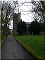
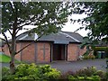
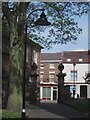
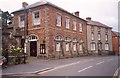
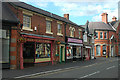
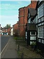
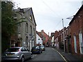
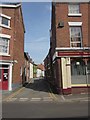
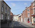
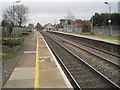
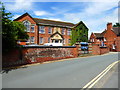
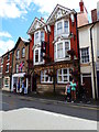
100 photos from this area
Area Information
Key information about the SY4 5HG including its size, population, and administrative classification.
- Area Type
- Postcode
- Area Size
- 9259 m²
- Population
- 1328
- Population Density
- 1900 people/km²
House Prices in SY4 5HG
18
Properties
£153,077
Average Sold Price
£60,000
Lowest Price
£265,000
Highest Price
Showing 18 properties
| Address | Type | Beds | Baths | Last Sale Price | Last Sale Date | |
|---|---|---|---|---|---|---|
| 5 Roden Grove, Wem, SY4 5HG | Semi-detached | 3 | 1 | £210,000 | Dec 2024 | |
| 1 Roden Grove, Wem, SY4 5HG | house | - | - | £170,000 | Jul 2023 | |
| 17 Roden Grove, Wem, SY4 5HG | Bungalow | - | - | £265,000 | Mar 2022 | |
| 6 Roden Grove, Wem, SY4 5HG | house | - | - | £194,500 | Sep 2020 | |
| The Old Surgery, Roden Grove, Wem, SY4 5HG | Bungalow | - | - | £75,000 | May 2020 | |
| New House, Roden Grove, Wem, SY4 5HG | Detached | 4 | 1 | £245,000 | Sep 2016 | |
| 4 Roden Grove, Wem, SY4 5HG | house | 3 | - | £123,000 | Feb 2015 | |
| 3 Roden Grove, Wem, SY4 5HG | Semi-detached | 4 | 1 | £140,000 | Jun 2013 | |
| 11 Roden Grove, Wem, SY4 5HG | Semi-detached | - | - | £155,000 | Feb 2006 | |
| 9 Roden Grove, Wem, SY4 5HG | Semi-detached | - | - | £165,000 | Aug 2004 |
Page 1 of 2
Energy Efficiency in SY4 5HG
Amenities
Schools
| Rank | School | Type | Entry gender | Ages |
|---|
Explore more schools in this area
Go to Schools tabDemographics
Household Size
One person
most common
Accommodation Type
Houses
most common
Tenure
58
majority
Ethnic Group
White
most common
Religion
N/A
most common
Household Composition
N/A
most common
Age
47
median
Adults (30-64 years)
most common
Household Deprivation
N/A
with no deprivation
NS-SEC
27
in Lower managerial occupations
Explore more demographic insights in this area
Go to Demographics tabPlanning
Planning Constraints
- Flood RiskPremium
- Ramsar Wetland SitesPremium
- Area of Outstanding Natural BeautyPremium
- Protected Nature ReservePremium
- Protected WoodlandPremium