Area Overview for SY4 3BZ
Photos of SY4 3BZ
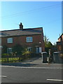
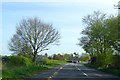
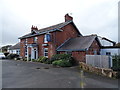
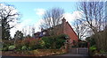
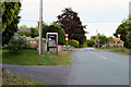
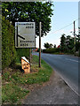
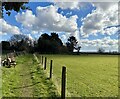
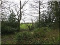
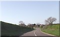
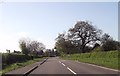
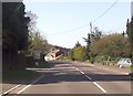
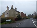
18 photos from this area
Area Information
Key information about the SY4 3BZ including its size, population, and administrative classification.
- Area Type
- Postcode
- Area Size
- 1.3 hectares
- Population
- 1759
- Population Density
- 59 people/km²
House Prices in SY4 3BZ
9
Properties
£202,199
Average Sold Price
£117,000
Lowest Price
£290,000
Highest Price
Showing 9 properties
| Address | Type | Beds | Baths | Last Sale Price | Last Sale Date | |
|---|---|---|---|---|---|---|
| Karima, The Hollow, Harmer Hill, SY4 3BZ | Bungalow | - | - | £290,000 | Dec 2018 | |
| The Spinney, The Hollow, Harmer Hill, SY4 3BZ | Detached | 4 | 1 | £269,000 | Jul 2016 | |
| Highfield, The Hollow, Harmer Hill, SY4 3BZ | house | - | - | £164,995 | Jul 2011 | |
| Ashford, The Hollow, Harmer Hill, SY4 3BZ | Detached | 3 | 1 | £170,000 | Oct 2002 | |
| Tenebrae, The Hollow, Harmer Hill, SY4 3BZ | Detached | 3 | 2 | £117,000 | Jul 1996 | |
| Martins Hatch, The Hollow, Harmer Hill, SY4 3BZ | Detached | - | - | - | - | |
| Oakside, The Hollow, Harmer Hill, SY4 3BZ | Detached | - | - | - | - | |
| Amberley, The Hollow, Harmer Hill, SY4 3BZ | Semi-detached | - | - | - | - | |
| Richmond, The Hollow, Harmer Hill, SY4 3BZ | house | - | - | - | - |
Energy Efficiency in SY4 3BZ
Amenities
Schools
| Rank | School | Type | Entry gender | Ages |
|---|
Explore more schools in this area
Go to Schools tabDemographics
Household Size
Two person
most common
Accommodation Type
Houses
most common
Tenure
82
majority
Ethnic Group
White
most common
Religion
N/A
most common
Household Composition
N/A
most common
Age
47
median
Adults (30-64 years)
most common
Household Deprivation
N/A
with no deprivation
NS-SEC
40
in Lower managerial occupations
Explore more demographic insights in this area
Go to Demographics tabPlanning
Planning Constraints
- Flood RiskPremium
- Ramsar Wetland SitesPremium
- Area of Outstanding Natural BeautyPremium
- Protected Nature ReservePremium
- Protected WoodlandPremium