Area Overview for SY3 9JQ
Photos of SY3 9JQ
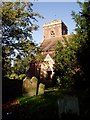
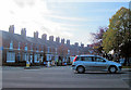


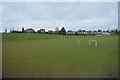
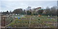
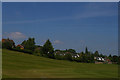
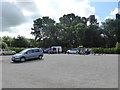

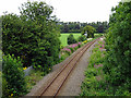
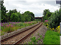
79 photos from this area
Area Information
Key information about the SY3 9JQ including its size, population, and administrative classification.
- Area Type
- Postcode
- Area Size
- 8747 m²
- Population
- 1567
- Population Density
- 2826 people/km²
House Prices in SY3 9JQ
13
Properties
£235,399
Average Sold Price
£82,500
Lowest Price
£400,000
Highest Price
Showing 13 properties
| Address | Type | Beds | Baths | Last Sale Price | Last Sale Date | |
|---|---|---|---|---|---|---|
| 26 Upper Road, Shrewsbury, SY3 9JQ | Detached | 3 | 1 | £400,000 | Apr 2022 | |
| 30 Upper Road, Shrewsbury, SY3 9JQ | Detached | 3 | 1 | £349,995 | Aug 2020 | |
| 34 Upper Road, Shrewsbury, SY3 9JQ | house | 3 | - | £265,000 | Apr 2017 | |
| 40 Upper Road, Shrewsbury, SY3 9JQ | house | - | - | £289,995 | Dec 2016 | |
| 24 Upper Road, Shrewsbury, SY3 9JQ | house | - | - | £245,000 | Jun 2015 | |
| 28 Upper Road, Shrewsbury, SY3 9JQ | house | - | - | £276,000 | May 2011 | |
| 38 Upper Road, Shrewsbury, SY3 9JQ | Detached | - | - | £245,000 | Jan 2005 | |
| 22 Upper Road, Shrewsbury, SY3 9JQ | Semi-detached | - | - | £115,500 | Jun 2002 | |
| 36 Upper Road, Shrewsbury, SY3 9JQ | house | - | - | £85,000 | Feb 1998 | |
| 42 Upper Road, Shrewsbury, SY3 9JQ | house | - | - | £82,500 | Jun 1996 |
Page 1 of 2
Energy Efficiency in SY3 9JQ
Amenities
Schools
| Rank | School | Type | Entry gender | Ages |
|---|
Explore more schools in this area
Go to Schools tabDemographics
Household Size
One person
most common
Accommodation Type
Houses
most common
Tenure
62
majority
Ethnic Group
White
most common
Religion
N/A
most common
Household Composition
N/A
most common
Age
47
median
Adults (30-64 years)
most common
Household Deprivation
N/A
with no deprivation
NS-SEC
45
in Lower managerial occupations
Explore more demographic insights in this area
Go to Demographics tabPlanning
Planning Constraints
- Flood RiskPremium
- Ramsar Wetland SitesPremium
- Area of Outstanding Natural BeautyPremium
- Protected Nature ReservePremium
- Protected WoodlandPremium