Area Overview for SY3 8AD
Photos of SY3 8AD
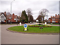
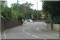
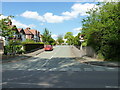
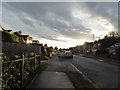
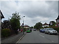
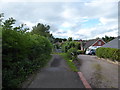
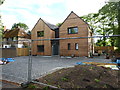
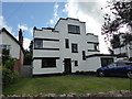
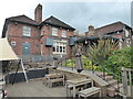
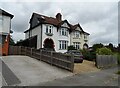
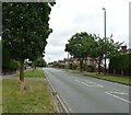
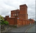
35 photos from this area
Area Information
Key information about the SY3 8AD including its size, population, and administrative classification.
- Area Type
- Postcode
- Area Size
- 1.5 hectares
- Population
- 2024
- Population Density
- 1392 people/km²
House Prices in SY3 8AD
26
Properties
£220,326
Average Sold Price
£77,995
Lowest Price
£430,000
Highest Price
Showing 26 properties
| Address | Type | Beds | Baths | Last Sale Price | Last Sale Date | |
|---|---|---|---|---|---|---|
| 55 Oakfield Road, Shrewsbury, SY3 8AD | house | - | - | £375,000 | Sep 2017 | |
| 75 Oakfield Road, Shrewsbury, SY3 8AD | Terraced | 3 | 1 | £220,000 | Feb 2016 | |
| 41 Oakfield Road, Shrewsbury, SY3 8AD | Semi-detached | 3 | 1 | £237,000 | Jan 2016 | |
| 43 Oakfield Road, Shrewsbury, SY3 8AD | house | - | - | £255,000 | Oct 2015 | |
| 53 Oakfield Road, Shrewsbury, SY3 8AD | house | - | - | £277,500 | Apr 2014 | |
| 33 Oakfield Road, Shrewsbury, SY3 8AD | house | - | - | £430,000 | Nov 2013 | |
| 71 Oakfield Road, Shrewsbury, SY3 8AD | Semi-detached | 3 | 1 | £195,000 | Dec 2011 | |
| 51 Oakfield Road, Shrewsbury, SY3 8AD | house | - | - | £200,000 | Jan 2010 | |
| 59 Oakfield Road, Shrewsbury, SY3 8AD | Semi-detached | 3 | 2 | £205,000 | Apr 2009 | |
| 39 Oakfield Road, Shrewsbury, SY3 8AD | Semi-detached | - | - | £272,500 | Aug 2006 |
Page 1 of 3
Energy Efficiency in SY3 8AD
Amenities
Schools
| Rank | School | Type | Entry gender | Ages |
|---|
Explore more schools in this area
Go to Schools tabDemographics
Household Size
Two person
most common
Accommodation Type
Houses
most common
Tenure
74
majority
Ethnic Group
White
most common
Religion
N/A
most common
Household Composition
N/A
most common
Age
47
median
Adults (30-64 years)
most common
Household Deprivation
N/A
with no deprivation
NS-SEC
48
in Lower managerial occupations
Explore more demographic insights in this area
Go to Demographics tabPlanning
Planning Constraints
- Flood RiskPremium
- Ramsar Wetland SitesPremium
- Area of Outstanding Natural BeautyPremium
- Protected Nature ReservePremium
- Protected WoodlandPremium