Area Overview for SY2 6ST
Photos of SY2 6ST
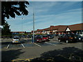
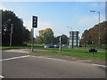
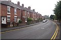
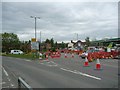
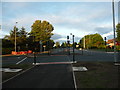
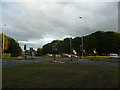
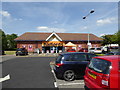
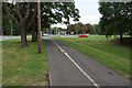
76 photos from this area
Area Information
Key information about the SY2 6ST including its size, population, and administrative classification.
- Area Type
- Postcode
- Area Size
- 14.9 hectares
- Population
- 2173
- Population Density
- 1273 people/km²
House Prices in SY2 6ST
7
Properties
-
Average Sold Price
-
Lowest Price
-
Highest Price
Showing 7 properties
| Address | Type | Beds | Baths | Last Sale Price | Last Sale Date | |
|---|---|---|---|---|---|---|
| Shropshire Football Association, Shrewsbury Town Football Club, Oteley Road, Shrewsbury, SY2 6ST | Office | - | - | - | - | |
| Unit 10, Stadium Point Business Park, Oteley Road, Shrewsbury, SY2 6ST | general_industrial | - | - | - | - | |
| Unit 3, Stadium Point Business Park, Oteley Road, Shrewsbury, SY2 6ST | general_industrial | - | - | - | - | |
| Unit 14, Stadium Point Business Park, Oteley Road, Shrewsbury, SY2 6ST | general_industrial | - | - | - | - | |
| Unit 13, Stadium Point Business Park, Oteley Road, Shrewsbury, SY2 6ST | general_industrial | - | - | - | - | |
| Unit 11, Stadium Point Business Park, Oteley Road, Shrewsbury, SY2 6ST | office_workshop | - | - | - | - | |
| Unit 4, Stadium Point Business Park, Oteley Road, Shrewsbury, SY2 6ST | general_industrial | - | - | - | - |
Energy Efficiency in SY2 6ST
Amenities
Schools
| Rank | School | Type | Entry gender | Ages |
|---|
Explore more schools in this area
Go to Schools tabDemographics
Household Size
Two person
most common
Accommodation Type
Houses
most common
Tenure
83
majority
Ethnic Group
White
most common
Religion
N/A
most common
Household Composition
N/A
most common
Age
47
median
Adults (30-64 years)
most common
Household Deprivation
N/A
with no deprivation
NS-SEC
37
in Lower managerial occupations
Explore more demographic insights in this area
Go to Demographics tabPlanning
Planning Constraints
- Flood RiskPremium
- Ramsar Wetland SitesPremium
- Area of Outstanding Natural BeautyPremium
- Protected Nature ReservePremium
- Protected WoodlandPremium