Area Overview for SY2 6LF
Photos of SY2 6LF
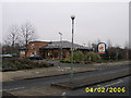
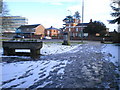


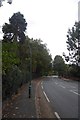
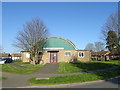
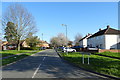
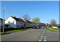
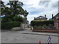
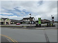
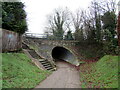
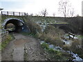
69 photos from this area
Area Information
Key information about the SY2 6LF including its size, population, and administrative classification.
- Area Type
- Postcode
- Area Size
- 1.3 hectares
- Population
- 1380
- Population Density
- 1253 people/km²
House Prices in SY2 6LF
34
Properties
£126,586
Average Sold Price
£41,750
Lowest Price
£235,000
Highest Price
Showing 34 properties
| Address | Type | Beds | Baths | Last Sale Price | Last Sale Date | |
|---|---|---|---|---|---|---|
| 10 Mereside, Shrewsbury, SY2 6LF | Terraced | 4 | 1 | £235,000 | Dec 2024 | |
| 33 Mereside, Shrewsbury, SY2 6LF | Terraced | 3 | 1 | £117,500 | Oct 2021 | |
| 31A Mereside, Shrewsbury, SY2 6LF | Bungalow | - | - | £77,000 | Apr 2020 | |
| 46 Mereside, Shrewsbury, SY2 6LF | Terraced | 3 | 1 | £177,500 | Feb 2020 | |
| 4 Mereside, Shrewsbury, SY2 6LF | house | - | - | £148,500 | Dec 2019 | |
| 3 Mereside, Shrewsbury, SY2 6LF | house | - | - | £137,000 | Sep 2017 | |
| 5 Mereside, Shrewsbury, SY2 6LF | Terraced | 3 | 1 | £156,950 | Dec 2016 | |
| 36 Mereside, Shrewsbury, SY2 6LF | Terraced | 3 | - | £145,000 | Oct 2015 | |
| 50 Mereside, Shrewsbury, SY2 6LF | house | - | - | £140,000 | Jul 2015 | |
| 8 Mereside, Shrewsbury, SY2 6LF | house | - | - | £131,500 | May 2014 |
Page 1 of 4
Energy Efficiency in SY2 6LF
Amenities
Schools
| Rank | School | Type | Entry gender | Ages |
|---|
Explore more schools in this area
Go to Schools tabDemographics
Household Size
Two person
most common
Accommodation Type
Houses
most common
Tenure
67
majority
Ethnic Group
White
most common
Religion
N/A
most common
Household Composition
N/A
most common
Age
47
median
Adults (30-64 years)
most common
Household Deprivation
N/A
with no deprivation
NS-SEC
31
in Lower managerial occupations
Explore more demographic insights in this area
Go to Demographics tabPlanning
Planning Constraints
- Flood RiskPremium
- Ramsar Wetland SitesPremium
- Area of Outstanding Natural BeautyPremium
- Protected Nature ReservePremium
- Protected WoodlandPremium