Area Overview for SY2 5UL
Photos of SY2 5UL
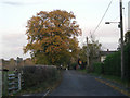
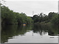
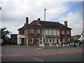
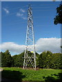
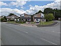
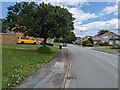
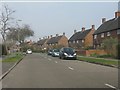
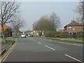
17 photos from this area
Area Information
Key information about the SY2 5UL including its size, population, and administrative classification.
- Area Type
- Postcode
- Area Size
- 4612 m²
- Population
- 1271
- Population Density
- 1637 people/km²
House Prices in SY2 5UL
16
Properties
£174,525
Average Sold Price
£54,750
Lowest Price
£288,500
Highest Price
Showing 16 properties
| Address | Type | Beds | Baths | Last Sale Price | Last Sale Date | |
|---|---|---|---|---|---|---|
| 115 Conway Drive, Shrewsbury, SY2 5UL | Semi-detached | 3 | 1 | £225,000 | Jul 2024 | |
| 131 Conway Drive, Shrewsbury, SY2 5UL | Semi-detached | 3 | 1 | £250,000 | Mar 2023 | |
| 129 Conway Drive, Shrewsbury, SY2 5UL | house | - | - | £288,500 | Apr 2022 | |
| 103 Conway Drive, Shrewsbury, SY2 5UL | house | - | - | £235,000 | May 2021 | |
| 107 Conway Drive, Shrewsbury, SY2 5UL | house | - | - | £184,000 | Aug 2016 | |
| 105 Conway Drive, Shrewsbury, SY2 5UL | house | 3 | - | £169,995 | May 2015 | |
| 133 Conway Drive, Shrewsbury, SY2 5UL | Semi-detached | - | - | £144,000 | Nov 2007 | |
| 109 Conway Drive, Shrewsbury, SY2 5UL | Semi-detached | - | - | £111,000 | Jan 2003 | |
| 123 Conway Drive, Shrewsbury, SY2 5UL | Semi-detached | - | - | £83,000 | Dec 2000 | |
| 117 Conway Drive, Shrewsbury, SY2 5UL | Semi-detached | - | - | £54,750 | Nov 1996 |
Page 1 of 2
Energy Efficiency in SY2 5UL
Amenities
Schools
| Rank | School | Type | Entry gender | Ages |
|---|
Explore more schools in this area
Go to Schools tabDemographics
Household Size
Two person
most common
Accommodation Type
Houses
most common
Tenure
91
majority
Ethnic Group
White
most common
Religion
N/A
most common
Household Composition
N/A
most common
Age
47
median
Adults (30-64 years)
most common
Household Deprivation
N/A
with no deprivation
NS-SEC
31
in Lower managerial occupations
Explore more demographic insights in this area
Go to Demographics tabPlanning
Planning Constraints
- Flood RiskPremium
- Ramsar Wetland SitesPremium
- Area of Outstanding Natural BeautyPremium
- Protected Nature ReservePremium
- Protected WoodlandPremium